


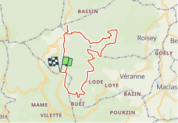


12,4 km | 18,3 km-effort


Benutzer


Kostenlosegpshiking-Anwendung
 SityTrail
IGN / Geografische Institute
SityTrail World
Die Welt öffnet sich für Sie
Tour Reiten von 17,1 km verfügbar auf Auvergne-Rhone-Alpen, Loire, Véranne. Diese Tour wird von virginiek vorgeschlagen.
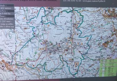
Boucle au départ de l'auberge de la croix saint-Sabin
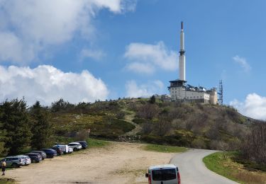
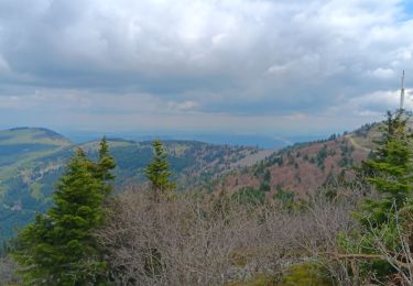
Passage par le belvédère de la Faucharat (crêt de l'oeillon), puis traversée des "3 dents"
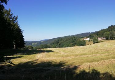
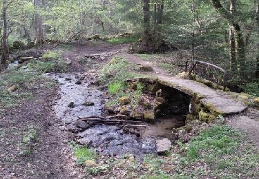
Traversée de hameaux et de forêts, crêts
Wandern

Wandern
Wandern
Wandern

Wandern
Wandern
Wandern
Wandern
Wandern