


15,2 km | 22 km-effort

Benutzer


Kostenlosegpshiking-Anwendung
 SityTrail
IGN / Geografische Institute
SityTrail World
Die Welt öffnet sich für Sie
Tour Wandern von 13,2 km verfügbar auf Neu-Aquitanien, Lot-et-Garonne, Moirax. Diese Tour wird von tracegps vorgeschlagen.
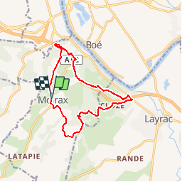
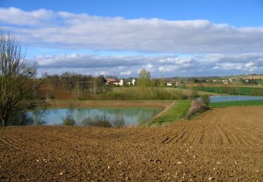
Ce circuit passe, sous et au dessus de l’autoroute A 62. Le bruit de la circulation n’est gênant que sur la partie nord de la boucle. Sinon très beaux paysages sur la vallée de la Garonne, proche d’Agen. Vous stationnez sur le parking, à gauche en venant d’Agen, au nord de Moirax sur la D 268, 100 m avant l'église. Téléchargez la fiche de cette randonnée sur le site du Tourisme du Lot et Garonne.


Wandern

Mountainbike

Wandern
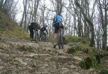
Mountainbike
Pferd

Mountainbike

Wandern

Pferd

Mountainbike