


16 km | 21 km-effort


Benutzer


Kostenlosegpshiking-Anwendung
 SityTrail
IGN / Geografische Institute
SityTrail World
Die Welt öffnet sich für Sie
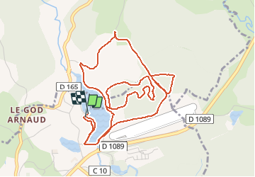
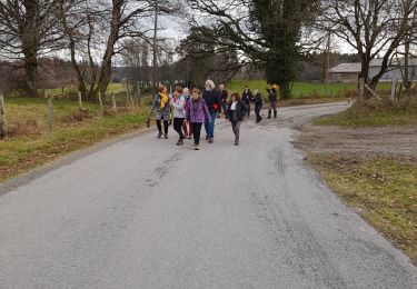
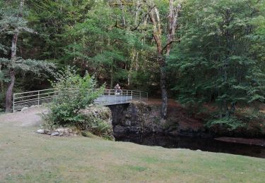
Tour Mountainbike von 6,5 km verfügbar auf Neu-Aquitanien, Corrèze, Égletons. Diese Tour wird von luclemoing vorgeschlagen.
Un petit circuit à faire en famille,sans grande difficulté majeure si ce n'est vers la fin du parcours ou,arrivant au pied de l'aérodrome,il est judicieux de descendre les marches le VTT à la main. Vous avez la possibilité d'éviter cet obstacle en repassant par le bord du lac près de la buvette. Bonne rando
Wandern

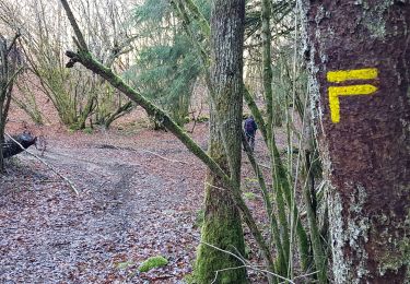
Mountainbike
Wandern
Wandern
Zu Fuß
Wandern

Wandern

Pferd

Mountainbike