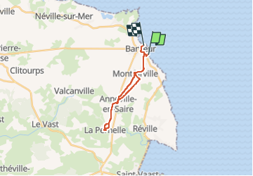
9,3 km | 10 km-effort
BARFLEUR /LA PERNELLE BARFLEUR
phil118
Benutzer
Länge
16,3 km
Maximale Höhe
85 m
Positive Höhendifferenz
151 m
Km-Effort
18,3 km
Min. Höhe
0 m
Negative Höhendifferenz
150 m
Boucle
Nein
Erstellungsdatum :
2022-08-02 11:44:50.742
Letzte Änderung :
2022-08-02 14:26:12.194
2h00
Schwierigkeit : Einfach
Kostenlosegpshiking-Anwendung
Über SityTrail
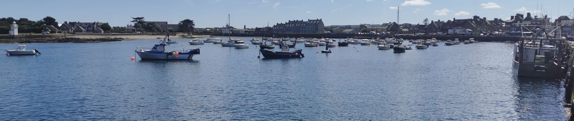
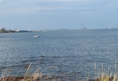
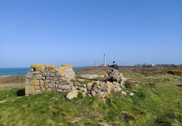
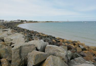
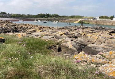
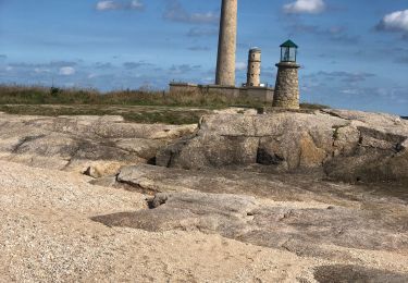
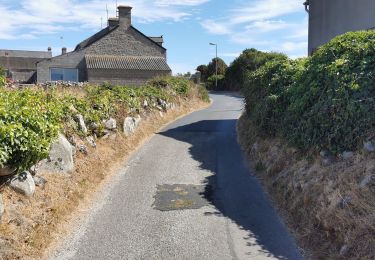
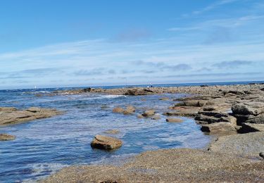
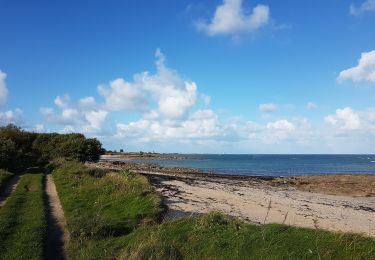
Tour Rennrad von 16,3 km verfügbar auf Normandie, Manche, Montfarville. Diese Tour wird von phil118 vorgeschlagen.
Ort
Land:
France
Region :
Normandie
Abteilung/Provinz :
Manche
Kommune :
Montfarville
Standort:
Unknown
Gehen Sie:(Dec)
Gehen Sie:(UTM)
625799 ; 5503018 (30U) N.
Kommentare
Touren in der Umgebung
gattevile
Wandern
Einfach
Gatteville-le-Phare,
Normandie,
Manche,
France
4,7 km | 5 km-effort
1h 22min
Ja
50 Barfleur / Phare de Gatteville 9.5km
Wandern
Sehr leicht
Barfleur,
Normandie,
Manche,
France
9,5 km | 9,9 km-effort
2h 46min
Nein
Pointe de Barfleur
Wandern
Einfach
Barfleur,
Normandie,
Manche,
France
14,3 km | 15,1 km-effort
4h 0min
Ja
Phare Gatteville
Wandern
Einfach
Gatteville-le-Phare,
Normandie,
Manche,
France
8,8 km | 9,3 km-effort
2h 33min
Ja
barfleur Gatteville
Rennrad
Einfach
Montfarville,
Normandie,
Manche,
France
10 km | 10,8 km-effort
51min
Nein
Barfleur Phare de Gatteville
Rennrad
Einfach
Barfleur,
Normandie,
Manche,
France
6,2 km | 6,5 km-effort
1h 30min
Nein
Reville Barfleur boucle
Wandern
Einfach
Réville,
Normandie,
Manche,
France
10,2 km | 11 km-effort
3h 14min
Ja