


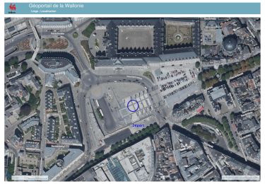
14,3 km | 19,8 km-effort


Benutzer


Kostenlosegpshiking-Anwendung
 SityTrail
IGN / Geografische Institute
SityTrail World
Die Welt öffnet sich für Sie
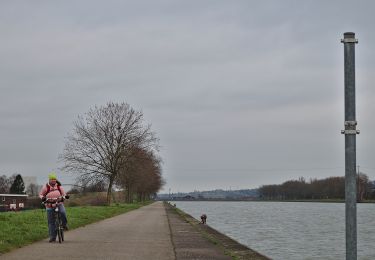
Tour Mountainbike von 56 km verfügbar auf Wallonien, Lüttich, Herstal. Diese Tour wird von David Toussaint vorgeschlagen.
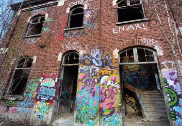
depuis Vottem ou Herstal, rejoindre Kanne par le ravel du canal Albert, puis retour via Lanaye et le ravel Eurovelo19 le long de la Meuse. A Herstal, remontée a Vottem par Pontisse et Le nouveau ravel des Haut-Sart.

Wandern
Wandern
Wandern
Wandern
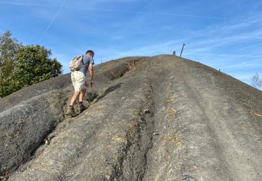
Wandern
Zu Fuß
Zu Fuß

Wandern

Wandern