Tour Wandern Corbières-en-Provence - Trou du loup - Corbières  - Photo
 Duc Vi Khai
Duc Vi Khai

Benutzer

© OpenStreetMap contributors
Länge
Länge
10,9 km
Maximale Höhe
Maximale Höhe
497 m
Positive Höhendifferenz
279 m
Km-Effort
Km-Effort  
14,6 km
Min. Höhe
Min. Höhe
295 m
Negative Höhendifferenz
281 m
Boucle
Boucle
Ja
Erstellungsdatum :
2023-03-05 08:39:44.0
Letzte Änderung :
2023-03-05 15:10:00.005

(0 Nachricht)

Wandern
Wandern
5h16
Schwierigkeit : Schwierig

Scannen Sie diesen QR-Code, um die Tour in der SityTrail-Anwendung zu öffnen

Kostenlosegpshiking-Anwendung

Logo SityTrail SityTrail

IGN / Geografische Institute

SityTrail aus dem App Store herunterladen SityTrail von Google Play herunterladen

Logo SityTrail SityTrail World

Die Welt öffnet sich für Sie

SityTrail aus dem App Store herunterladen SityTrail von Google Play herunterladen SityTrail auf Huawei AppGallery herunterladen

Über SityTrail

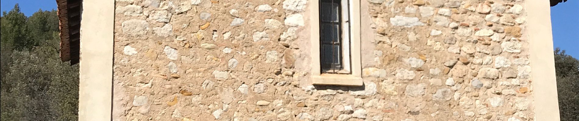
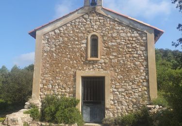
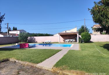
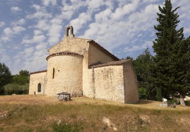
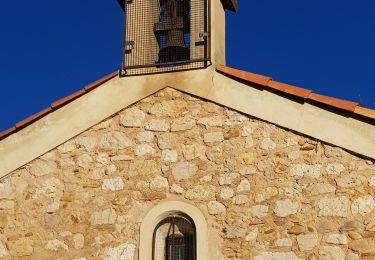
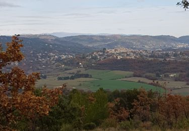
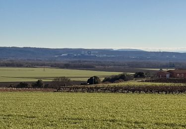
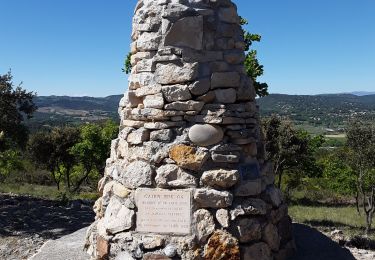
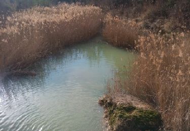
Tour Wandern von 10,9 km verfügbar auf Provence-Alpes-Côte d'Azur, Alpes-de-Haute-Provence, Corbières-en-Provence. Diese Tour wird von Duc Vi Khai vorgeschlagen.

Höhenprofil

Foto-Galerie

Ort

Land:
France
Region :
Provence-Alpes-Côte d'Azur
Abteilung/Provinz :
Alpes-de-Haute-Provence
Kommune :
Corbières-en-Provence
Standort:
Unknown
Gehen Sie:(Dec)
Gehen Sie:(UTM)
721604 ; 4849185 (31T) N.

Touren in der Umgebung

Tour Wandern Corbières-en-Provence - 06-06-2023 Trou du loup - Photo
Wandern
GUIDE
Kargil

Wandern

Schwierig
Corbières-en-Provence, Provence-Alpes-Côte d'Azur, Alpes-de-Haute-Provence, France
12,1 km | 16,3 km-effort
3h 42min
Ja
Tour Wandern Vinon-sur-Verdon - Marie Coco - Vinon sur Verdon - Photo
Wandern
tracegps

Wandern

Medium
(2)
Vinon-sur-Verdon, Provence-Alpes-Côte d'Azur, Var, France
14,5 km | 16,4 km-effort
3h 30min
Ja
Tour Nordic Walking Vinon-sur-Verdon - en face la maison - Photo
Nordic Walking
cocojean

Nordic Walking

Sehr leicht
Vinon-sur-Verdon, Provence-Alpes-Côte d'Azur, Var, France
7,6 km | 8,9 km-effort
1h 24min
Ja
Tour Wandern Beaumont-de-Pertuis - beaumont de pertuis.les chapelles. alentours ouest  - Photo
Wandern
Roger

Wandern

Medium
Beaumont-de-Pertuis, Provence-Alpes-Côte d'Azur, Vaucluse, France
13,1 km | 18,3 km-effort
3h 42min
Ja
Tour Wandern Corbières-en-Provence - 1Corbières, chemin de repentance et trou du Loup - Photo
Wandern
liocol

Wandern

Medium
Corbières-en-Provence, Provence-Alpes-Côte d'Azur, Alpes-de-Haute-Provence, France
8,9 km | 12,6 km-effort
2h 35min
Ja
Tour Wandern Sainte-Tulle - 1Chabrands, le CLAPIER, LE cAIRN - Photo
Wandern
liocol

Wandern

Medium
Sainte-Tulle, Provence-Alpes-Côte d'Azur, Alpes-de-Haute-Provence, France
7,8 km | 11,7 km-effort
2h 15min
Ja
Tour Wandern Corbières-en-Provence - Corbières en Provence 04 - Photo
Wandern
GiryNoel

Wandern

Sehr leicht
Corbières-en-Provence, Provence-Alpes-Côte d'Azur, Alpes-de-Haute-Provence, France
15,5 km | 19,4 km-effort
2h 17min
Nein
Tour Wandern Corbières-en-Provence - Corbieres Trou du Loup - Photo
Wandern
counoise

Wandern

Einfach
Corbières-en-Provence, Provence-Alpes-Côte d'Azur, Alpes-de-Haute-Provence, France
13,3 km | 17 km-effort
3h 7min
Ja
Tour Wandern Corbières-en-Provence - Le trou du Loup, P lotissement de Corbières ). - Photo
Wandern
liocol

Wandern

Einfach
(1)
Corbières-en-Provence, Provence-Alpes-Côte d'Azur, Alpes-de-Haute-Provence, France
5,9 km | 8 km-effort
1h 50min
Ja


Schließen
Meine Abonnements