


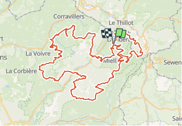

10,7 km | 13,9 km-effort


Benutzer


Kostenlosegpshiking-Anwendung
 SityTrail
IGN / Geografische Institute
SityTrail World
Die Welt öffnet sich für Sie
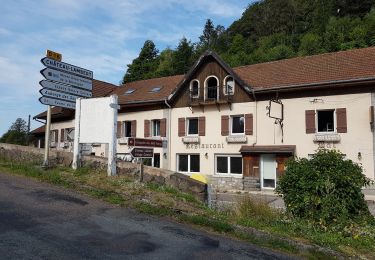
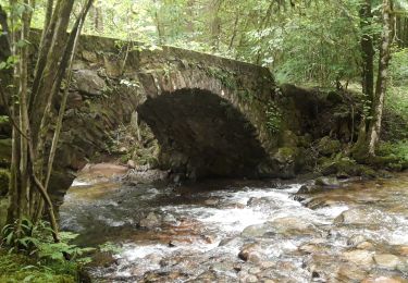
Tour Reiten von 141 km verfügbar auf Burgund und Freigrafschaft, Haute-Saône, Haut-du-Them-Château-Lambert. Diese Tour wird von Sefi78 vorgeschlagen.
4 étapes
Miellin / Miellin (32km)
Miellin / Esmoulières (30km)
Esmoulières / Ternuay-Melay-et-Saint-Hilaire (35 km)
Ternuay-Melay-et-Saint-Hilaire / Miellin (44km)

Wandern

Zu Fuß
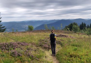
Wandern

Wandern
Wandern
Wandern
Wandern
Wandern
Wandern