


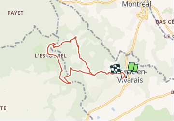

6,8 km | 9,3 km-effort


Benutzer


Kostenlosegpshiking-Anwendung
 SityTrail
IGN / Geografische Institute
SityTrail World
Die Welt öffnet sich für Sie
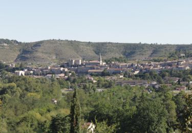
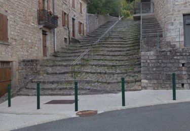
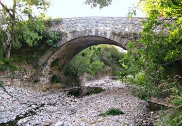
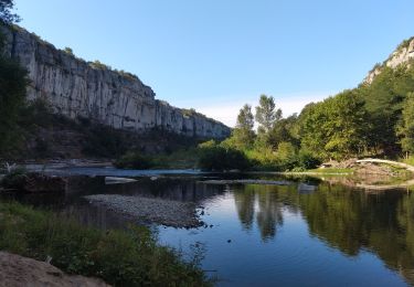
Tour Wandern von 8,7 km verfügbar auf Auvergne-Rhone-Alpen, Ardèche, Laurac-en-Vivarais. Diese Tour wird von enthalpie vorgeschlagen.
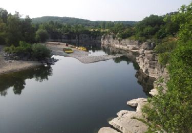
départ de Laurac visite des bords de la rivière du Blajoux
organisée par Laurent guide pour Cap france
Wandern
Wandern

Wandern

Nordic Walking
Wandern
Wandern
Wandern
Zu Fuß
Wandern