


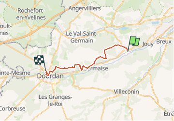

23 km | 29 km-effort


Benutzer


Kostenlosegpshiking-Anwendung
 SityTrail
IGN / Geografische Institute
SityTrail World
Die Welt öffnet sich für Sie
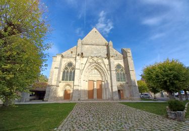
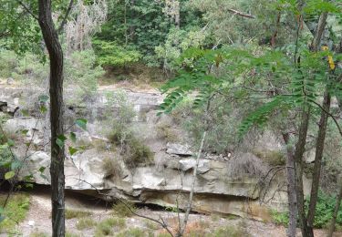
Tour Wandern von 13,5 km verfügbar auf Île-de-France, Essonne, Saint-Chéron. Diese Tour wird von philippebenne vorgeschlagen.

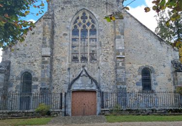
Wandern

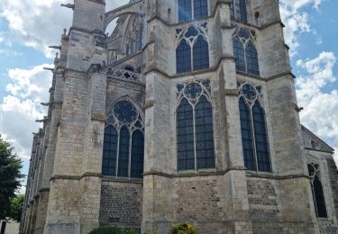
Wandern
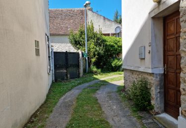
Wandern
Wandern
Wandern
Wandern

Wandern
Zu Fuß
Wandern