32 km | 37 km-effort
Passage D116 mairie Cosqueville
clrunavot
Benutzer
Länge
138 m
Maximale Höhe
26 m
Positive Höhendifferenz
0 m
Km-Effort
141 m
Min. Höhe
23 m
Negative Höhendifferenz
1 m
Boucle
Nein
Erstellungsdatum :
2024-04-26 13:56:15.872
Letzte Änderung :
2024-04-26 13:59:17.149
2m
Schwierigkeit : Einfach
Kostenlosegpshiking-Anwendung
Über SityTrail
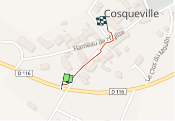
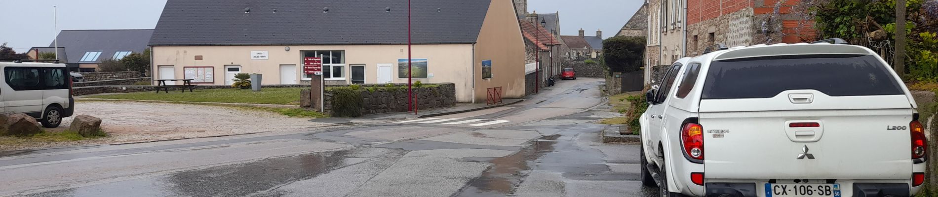
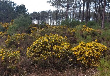
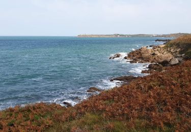
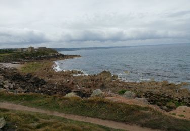
Tour Wandern von 138 m verfügbar auf Normandie, Manche, Vicq-sur-Mer. Diese Tour wird von clrunavot vorgeschlagen.
Ort
Land:
France
Region :
Normandie
Abteilung/Provinz :
Manche
Kommune :
Vicq-sur-Mer
Standort:
Unknown
Gehen Sie:(Dec)
Gehen Sie:(UTM)
614632 ; 5505740 (30U) N.
Kommentare
Touren in der Umgebung
Fermanville - Le Vast
Mountainbike
Schwierig
(1)
Fermanville,
Normandie,
Manche,
France
2h 30min
Nein
La Vallée des Moulins
Wandern
Medium
Fermanville,
Normandie,
Manche,
France
9,1 km | 11 km-effort
2h 30min
Ja
Fermanville / Maupertus
Wandern
Medium
Fermanville,
Normandie,
Manche,
France
21 km | 26 km-effort
3h 36min
Ja
50 Autour du Cap LEVI 5km
Wandern
Sehr leicht
Fermanville,
Normandie,
Manche,
France
5,1 km | 5,6 km-effort
1h 22min
Ja
cap levi
Wandern
Einfach
(1)
Fermanville,
Normandie,
Manche,
France
4,4 km | 4,8 km-effort
1h 3min
Ja
fermanville 12042019
Wandern
Sehr leicht
(1)
Fermanville,
Normandie,
Manche,
France
9,3 km | 11,8 km-effort
2h 4min
Ja
boucle cap Lévy plage mondree
Wandern
Sehr leicht
(1)
Fermanville,
Normandie,
Manche,
France
7 km | 8 km-effort
1h 48min
Ja