Tour Wandern Nólsoy - Nólsoy Kallur Lighthouse - Photo

Nólsoy Kallur Lighthouse

 Geert H.
Geert H.

Benutzer

© OpenStreetMap contributors
Länge
Länge
14,8 km
Maximale Höhe
Maximale Höhe
220 m
Positive Höhendifferenz
464 m
Km-Effort
Km-Effort  
21 km
Min. Höhe
Min. Höhe
2 m
Negative Höhendifferenz
464 m
Boucle
Boucle
Ja
Erstellungsdatum :
2025-06-29 08:57:03.258
Letzte Änderung :
2025-07-08 14:30:16.751

(0 Nachricht)

Wandern
Wandern
3h33
Schwierigkeit : Schwierig

Scannen Sie diesen QR-Code, um die Tour in der SityTrail-Anwendung zu öffnen

Kostenlosegpshiking-Anwendung

Logo SityTrail SityTrail

IGN / Geografische Institute

SityTrail aus dem App Store herunterladen SityTrail von Google Play herunterladen

Logo SityTrail SityTrail Plus

Die Welt öffnet sich für Sie

SityTrail aus dem App Store herunterladen SityTrail von Google Play herunterladen SityTrail auf Huawei AppGallery herunterladen

Über SityTrail

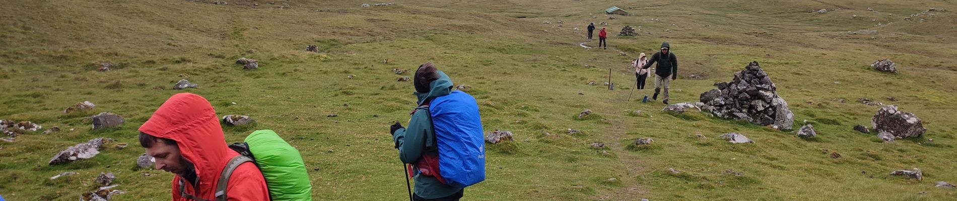
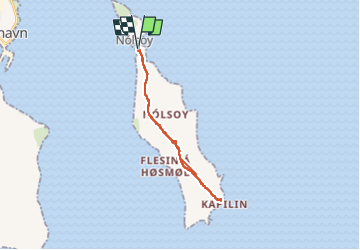
Tour Wandern von 14,8 km verfügbar auf Streymoyar sýsla, Unbekannt, Nólsoy. Diese Tour wird von Geert H. vorgeschlagen.
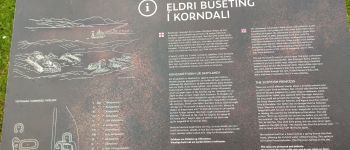
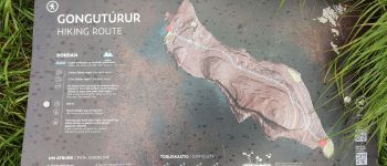
Beschreibung

The small white and red painted lighthouse is nestled on the northernmost tip on the island. Everyone wanting to visit the scenery will go for a hike. Kallur Lighthouse was built in 1927 and is now steadily growing in popularity.

Höhenprofil

Foto-Galerie

POIs

POI Nólsoy - Unnamed POI - Photo
Geert H.
NÓLSOY 
POI Nólsoy - Unnamed POI - Photo
Geert H.
NÓLSOY 

Ort

Land:
Faroe Islands
Region :
Streymoyar sýsla
Abteilung/Provinz :
Unbekannt
Kommune :
Nólsoy
Standort:
Unknown
Gehen Sie:(Dec)
Gehen Sie:(UTM)
621890 ; 6877081 (29V) N.


Schließen
Meine Abonnements