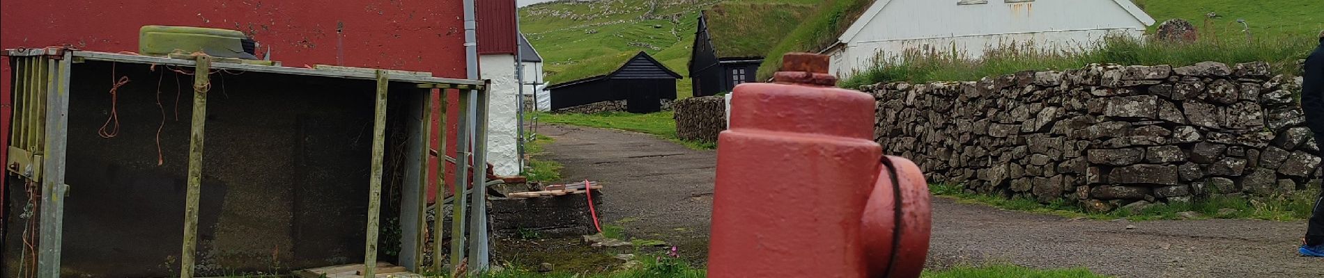
Tour Wandern Mykines - Mykines - Photo
 Geert H.
Geert H.

Benutzer

© OpenStreetMap contributors
Länge
Länge
4,4 km
Maximale Höhe
Maximale Höhe
164 m
Positive Höhendifferenz
241 m
Km-Effort
Km-Effort  
7,6 km
Min. Höhe
Min. Höhe
9 m
Negative Höhendifferenz
242 m
Boucle
Boucle
Ja
Erstellungsdatum :
2025-07-05 09:33:13.983
Letzte Änderung :
2025-07-08 15:09:33.195

(0 Nachricht)

Wandern
Wandern
1h33
Schwierigkeit : Einfach

Scannen Sie diesen QR-Code, um die Tour in der SityTrail-Anwendung zu öffnen

Kostenlosegpshiking-Anwendung

Logo SityTrail SityTrail

IGN / Geografische Institute

SityTrail aus dem App Store herunterladen SityTrail von Google Play herunterladen

Logo SityTrail SityTrail Plus

Die Welt öffnet sich für Sie

SityTrail aus dem App Store herunterladen SityTrail von Google Play herunterladen SityTrail auf Huawei AppGallery herunterladen

Über SityTrail

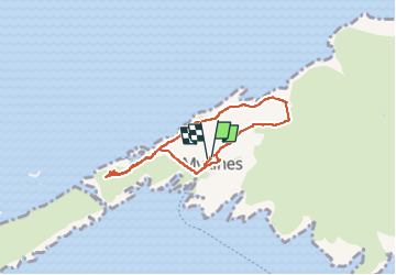
Tour Wandern von 4,4 km verfügbar auf Vága sýsla, Unbekannt, Mykines. Diese Tour wird von Geert H. vorgeschlagen.

Beschreibung

day tour to Mykines is on many travellers’ bucket lists when visiting the archipelago in the summer months. Most people enjoy the island on a guided day tour with a local tour guide.

Experienced local guides take adventurous travellers along rolling green summer hills and all the way to the remotely located puffins. Travellers spend a day in Mykines to enjoy the astonishing vistas and recharge.

Höhenprofil

Foto-Galerie

Ort

Land:
Faroe Islands
Region :
Vága sýsla
Abteilung/Provinz :
Unbekannt
Kommune :
Mykines
Standort:
Unknown
Gehen Sie:(Dec)
Gehen Sie:(UTM)
570759 ; 6886508 (29V) N.


Schließen
Meine Abonnements