


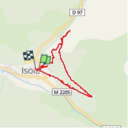


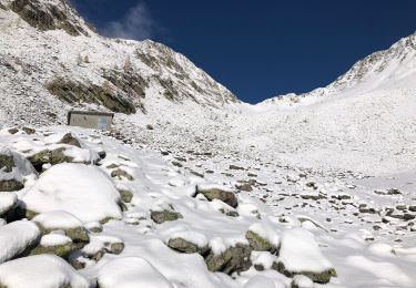
9,7 km | 20 km-effort

Benutzer


Kostenlosegpshiking-Anwendung
 SityTrail
IGN / Geografische Institute
SityTrail World
Die Welt öffnet sich für Sie
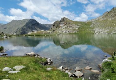
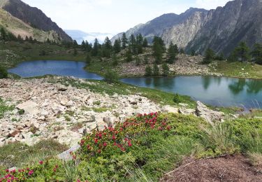
Tour Wandern von 4,4 km verfügbar auf Provence-Alpes-Côte d'Azur, Seealpen, Isola. Diese Tour wird von jpnice06 vorgeschlagen.
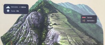
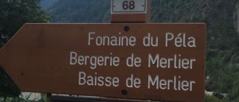
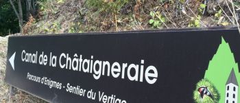
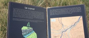
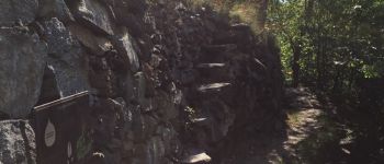
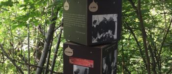
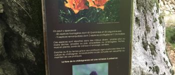
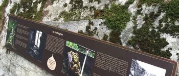
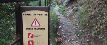
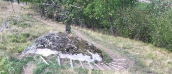
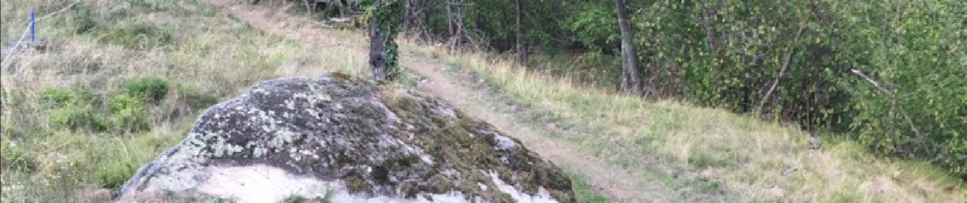
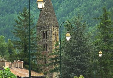
Belle balade agréable à Isola village pour découvrir et apprendre beaucoup de choses sur la châtaigneraie


Wandern
Wandern
Wandern
Wandern
Zu Fuß
Wandern
Wandern
Wandern
Wandern