


160 km | 288 km-effort

Benutzer


Kostenlosegpshiking-Anwendung
 SityTrail
IGN / Geografische Institute
SityTrail World
Die Welt öffnet sich für Sie
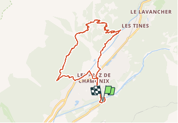
Tour Wandern von 10,5 km verfügbar auf Auvergne-Rhone-Alpen, Hochsavoyen, Chamonix-Mont-Blanc. Diese Tour wird von GerardBouche vorgeschlagen.
Depuis le départ du téléphérique de "La Flégère", emprunter le superbe petit sentier qui vous monte jusqu'au chalet de "La Floria" (magnifique pt de vue sur le Mt-Blanc-possibilité d'y prendre, en été, une boisson ).Continuer la montée vers La Flégère jusqu'au balisage "Sentier des Gardes" et de là, descendre vers l'Arve et le "Paradis des Praz. Superbe randonnée.
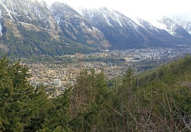
 - Photo 1")
 - Photo 2")
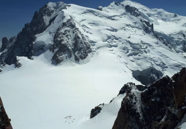
 - Photo 3")
 - Photo 4")

Laufen

Wandern

Wandern

Laufen

Wandern

Wandern

Mountainbike
Wandern
Wandern