


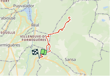

13,1 km | 26 km-effort

Benutzer


Kostenlosegpshiking-Anwendung
 SityTrail
IGN / Geografische Institute
SityTrail World
Die Welt öffnet sich für Sie
Tour Schneeschuhwandern von 14,1 km verfügbar auf Okzitanien, Ostpyrenäen, Railleu. Diese Tour wird von jpipacific vorgeschlagen.
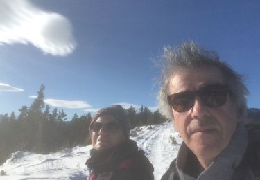
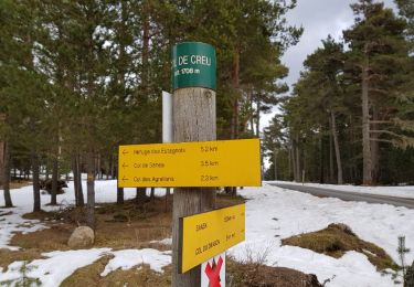
Jolie randonnée assez facile. Déjeuné au dessus du refuge Pla de grill avec un superbe point de vue.


Schneeschuhwandern
Wandern

Wandern
Schneeschuhwandern
Schneeschuhwandern
Schneeschuhwandern
Wandern

Schneeschuhwandern

Mountainbike