![](/images/other/stat-length.png)
![Tour Andere Aktivitäten Frasnes-lez-Anvaing - Pays des collines - Photo](https://media.geolcdn.com/t/1900/400/ext.pjpeg?maxdim=2&url=https%3A%2F%2Fservices.sitytrail.com%2FGeolivesWS%2FDownloadMedia.ashx%3FTrailID%3D545355%26Media%3Dfix__20160328151157.jpg)
Pays des collines
reneperrin
Benutzer
![Länge](/images/other/stat-length.png)
Länge
23 km
![Maximale Höhe](https://static1.geolcdn.com/siteimages/upload/files/1508320355ic_sort_altitude_max_24dp.png)
Maximale Höhe
126 m
![Positive Höhendifferenz](https://static1.geolcdn.com/siteimages/upload/files/1508320355ic_sort_den_pos_24dp.png)
Positive Höhendifferenz
242 m
![Km-Effort](/images/other/stat-length.png)
Km-Effort
26 km
![Min. Höhe](https://static1.geolcdn.com/siteimages/upload/files/1508320355ic_sort_altitude_min_24dp.png)
Min. Höhe
19 m
![Negative Höhendifferenz](https://static1.geolcdn.com/siteimages/upload/files/1508320355ic_sort_den_neg_24dp.png)
Negative Höhendifferenz
242 m
![Boucle](https://static1.geolcdn.com/siteimages/upload/files/16400158638029165_repeat_loop_refresh_sync_direction_icon.png)
Boucle
Ja
Erstellungsdatum :
2016-03-28 00:00:00.0
Letzte Änderung :
2016-03-28 00:00:00.0
![Andere Aktivitäten](https://static1.geolcdn.com/sitytour/trail-icons/900.png)
4h56
Schwierigkeit : Einfach
![Scannen Sie diesen QR-Code, um die Tour in der SityTrail-Anwendung zu öffnen](https://capi.geolives.com/qq0zvz2zws4bq2lad0pu/sitytour/trails/545355/qr.png?size=200)
Kostenlosegpshiking-Anwendung
Über SityTrail
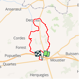
Tour Andere Aktivitäten von 23 km verfügbar auf Wallonien, Hennegau, Frasnes-lez-Anvaing. Diese Tour wird von reneperrin vorgeschlagen.
Beschreibung
boucle de 23km à partir du gîte altiplano
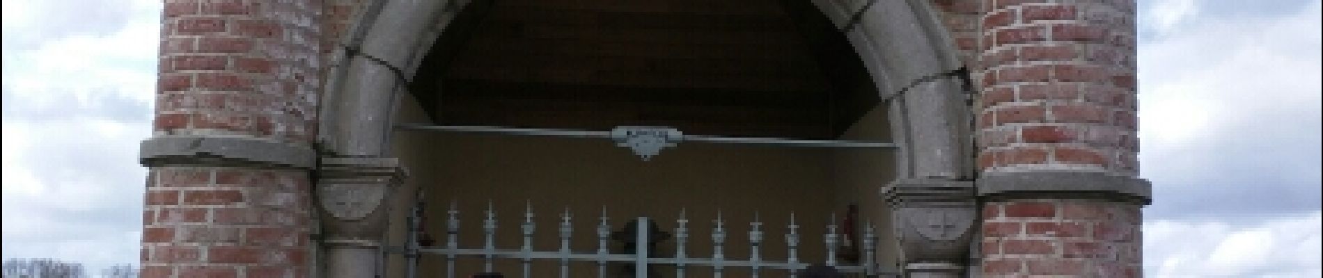
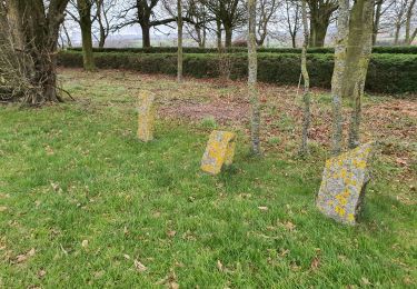
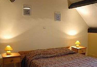
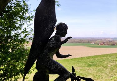
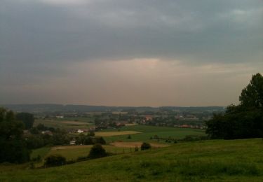
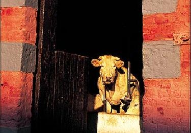
Ort
Land:
Belgium
Region :
Wallonien
Abteilung/Provinz :
Hennegau
Kommune :
Frasnes-lez-Anvaing
Standort:
Hacquegnies
Gehen Sie:(Dec)
Gehen Sie:(UTM)
541375 ; 5611648 (31U) N.
Kommentare
Touren in der Umgebung
![Tour Wandern Frasnes-lez-Anvaing - Wapi 2.22 - Balade du](https://media.geolcdn.com/t/375/260/ext.jpg?maxdim=2&url=https%3A%2F%2Fmedia.geolcdn.com%2Ff%2F0bed65af-f238-4675-b618-450df0465c65.jpg)
![Wandern Wandern](https://static1.geolcdn.com/sitytour/trail-icons/101.png)
Wapi 2.22 - Balade du "Trou Robin"
Wandern
Medium
(1)
Frasnes-lez-Anvaing,
Wallonien,
Hennegau,
Belgium
![](/images/other/stat-length.png)
7,3 km | 8,7 km-effort
1h 54min
![](https://static1.geolcdn.com/siteimages/upload/files/16400158638029165_repeat_loop_refresh_sync_direction_icon.png)
Ja
![Tour Wandern Frasnes-lez-Anvaing - Le sentier enchanté - Photo](https://media.geolcdn.com/t/375/260/ext.jpg?maxdim=2&url=https%3A%2F%2Fservices.sitytrail.com%2FGeolivesWS%2FDownloadMedia.ashx%3FTrailID%3D202843%26Media%3D9c77b90c-b972-42b8-8b63-def1b282e453.jpg)
![Wandern Wandern](https://static1.geolcdn.com/sitytour/trail-icons/101.png)
Le sentier enchanté
Wandern
Sehr leicht
(3)
Frasnes-lez-Anvaing,
Wallonien,
Hennegau,
Belgium
![](/images/other/stat-length.png)
6,5 km | 8,5 km-effort
Unbekannt
![](https://static1.geolcdn.com/siteimages/upload/files/16400158638029165_repeat_loop_refresh_sync_direction_icon.png)
Ja
![Tour Wandern Frasnes-lez-Anvaing - Le sentier enchanté - Photo](https://media.geolcdn.com/t/375/260/ext.jpg?maxdim=2&url=https%3A%2F%2Fmedia.geolcdn.com%2Ff%2F4c4c9013-0630-45d5-8667-6a80dbaf92e9.jpg)
![Wandern Wandern](https://static1.geolcdn.com/sitytour/trail-icons/101.png)
Le sentier enchanté
Wandern
Medium
Frasnes-lez-Anvaing,
Wallonien,
Hennegau,
Belgium
![](/images/other/stat-length.png)
7,4 km | 9,8 km-effort
2h 13min
![](https://static1.geolcdn.com/siteimages/upload/files/16400158638029165_repeat_loop_refresh_sync_direction_icon.png)
Ja
![Tour Zu Fuß Frasnes-lez-Anvaing - Le sentier Enchanté - Photo](https://media.geolcdn.com/t/375/260/ext.jpg?maxdim=2&url=https%3A%2F%2Fmedia.geolcdn.com%2Ff%2Fb7b629eb-bc00-4938-8602-679c63657406.jpeg)
![Zu Fuß Zu Fuß](https://static1.geolcdn.com/sitytour/trail-icons/100.png)
Le sentier Enchanté
Zu Fuß
Einfach
Frasnes-lez-Anvaing,
Wallonien,
Hennegau,
Belgium
![](/images/other/stat-length.png)
7,4 km | 9,8 km-effort
2h 13min
![](https://static1.geolcdn.com/siteimages/upload/files/16400158638029165_repeat_loop_refresh_sync_direction_icon.png)
Ja
![Tour Zu Fuß Frasnes-lez-Anvaing - Le sentier de l'Amour - Photo](https://media.geolcdn.com/t/375/260/ext.jpg?maxdim=2&url=https%3A%2F%2Fmedia.geolcdn.com%2Ff%2Fb7b629eb-bc00-4938-8602-679c63657406.jpeg)
![Zu Fuß Zu Fuß](https://static1.geolcdn.com/sitytour/trail-icons/100.png)
Le sentier de l'Amour
Zu Fuß
Einfach
Frasnes-lez-Anvaing,
Wallonien,
Hennegau,
Belgium
![](/images/other/stat-length.png)
5,5 km | 6,1 km-effort
1h 23min
![](https://static1.geolcdn.com/siteimages/upload/files/16400158638029165_repeat_loop_refresh_sync_direction_icon.png)
Ja
![Tour Zu Fuß Frasnes-lez-Anvaing - Balade du Trou Robin - Photo](https://media.geolcdn.com/t/375/260/ext.jpg?maxdim=2&url=https%3A%2F%2Fpivotmedia.tourismewallonie.be%2FANX-02-04JL-015N%2FANX-02-04JL-015N.jpg)
![Zu Fuß Zu Fuß](https://static1.geolcdn.com/sitytour/trail-icons/100.png)
Balade du Trou Robin
Zu Fuß
Einfach
Frasnes-lez-Anvaing,
Wallonien,
Hennegau,
Belgium
![](/images/other/stat-length.png)
7,2 km | 8,6 km-effort
1h 56min
![](https://static1.geolcdn.com/siteimages/upload/files/16400158638029165_repeat_loop_refresh_sync_direction_icon.png)
Ja
![Tour Zu Fuß Frasnes-lez-Anvaing - Fermes et châteaux remarquables - Photo](https://media.geolcdn.com/t/375/260/ext.jpg?maxdim=2&url=https%3A%2F%2Fpivotmedia.tourismewallonie.be%2FANX-02-000EMQ%2FANX-02-000EMQ.jpg)
![Zu Fuß Zu Fuß](https://static1.geolcdn.com/sitytour/trail-icons/100.png)
Fermes et châteaux remarquables
Zu Fuß
Einfach
(1)
Frasnes-lez-Anvaing,
Wallonien,
Hennegau,
Belgium
![](/images/other/stat-length.png)
5,3 km | 6,3 km-effort
1h 25min
![](https://static1.geolcdn.com/siteimages/upload/files/16400158638029165_repeat_loop_refresh_sync_direction_icon.png)
Ja
![Tour Zu Fuß Frasnes-lez-Anvaing - Château d'Anvaing et ses douves - Photo](https://media.geolcdn.com/t/375/260/ext.jpg?maxdim=2&url=https%3A%2F%2Fpivotmedia.tourismewallonie.be%2FANX-02-000EMX%2FANX-02-000EMX.jpg)
![Zu Fuß Zu Fuß](https://static1.geolcdn.com/sitytour/trail-icons/100.png)
Château d'Anvaing et ses douves
Zu Fuß
Einfach
Frasnes-lez-Anvaing,
Wallonien,
Hennegau,
Belgium
![](/images/other/stat-length.png)
5,3 km | 6,3 km-effort
1h 25min
![](https://static1.geolcdn.com/siteimages/upload/files/16400158638029165_repeat_loop_refresh_sync_direction_icon.png)
Ja
![Tour Mountainbike Frasnes-lez-Anvaing - A travers bois et campagnes - Photo](https://media.geolcdn.com/t/375/260/ext.jpg?maxdim=2&url=https%3A%2F%2Fpivotmedia.tourismewallonie.be%2FANX-02-000EX4%2FANX-02-000EX4.jpg)
![Mountainbike Mountainbike](https://static1.geolcdn.com/sitytour/trail-icons/202.png)
A travers bois et campagnes
Mountainbike
Schwierig
Frasnes-lez-Anvaing,
Wallonien,
Hennegau,
Belgium
![](/images/other/stat-length.png)
28 km | 35 km-effort
2h 26min
![](https://static1.geolcdn.com/siteimages/upload/files/16400158638029165_repeat_loop_refresh_sync_direction_icon.png)
Ja