


3,6 km | 4,8 km-effort

Benutzer GUIDE


Kostenlosegpshiking-Anwendung
 SityTrail
IGN / Geografische Institute
SityTrail World
Die Welt öffnet sich für Sie
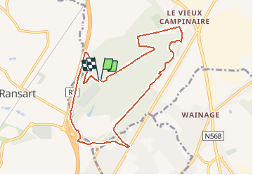
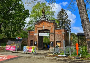
Tour Wandern von 8,7 km verfügbar auf Wallonien, Hennegau, Fleurus. Diese Tour wird von Desrumaux vorgeschlagen.
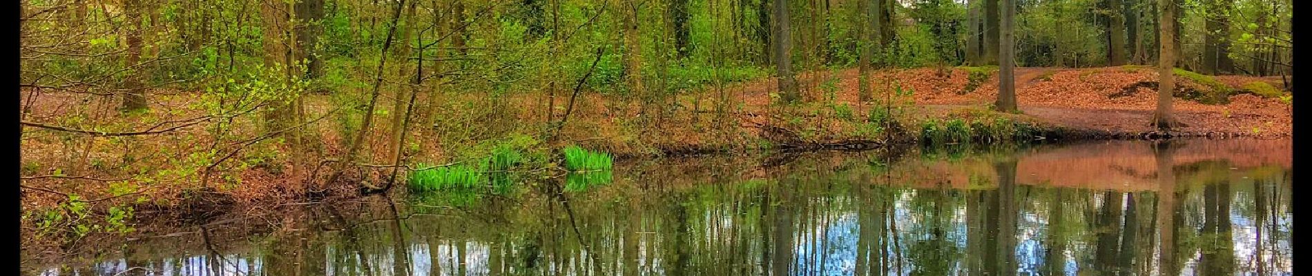
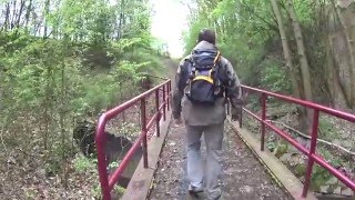
Le bois de Soleilmont et la Forêt des Loisirs
En règle générale, peu de gens savent qu’au sud de Fleurus un domaine boisé de plusieurs dizaines d’hectares existe encore.
Des chaussées qui le bordent, il est presque invisible et vu de l’autoroute R3 aboutissant à Heppignies, il n’est qu’une tache verte qui s’efface rapidement.
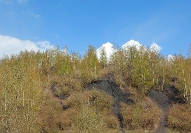
Pourtant ce lieu révèle quelque chose de particulier, un « on ne sait quoi » que les différents noms des zones qui le forme évoquent.Le bois de Soleilmont à Fleurus est sans doute le dernier véritable survivant de l'immense ceinture boisée qui autrefois bordait le sud de l'entité de Fleurus. Larges bandes d'arbres qui courent de Ransart jusque bien après Wanfercée, et de Gilly jusque Martinroux. L'extension progressive de ces communes a réduit peu à peu ce magnifique espace. Intensivement exploité autrefois, nous ne trouvons plus aucun arbre vieux de plus de 150 ans. (http://www.fleurus-tourisme.be/fr/).


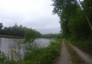
Wandern

Wandern
Wandern
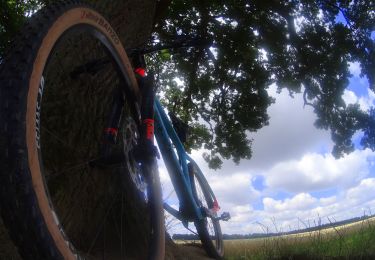
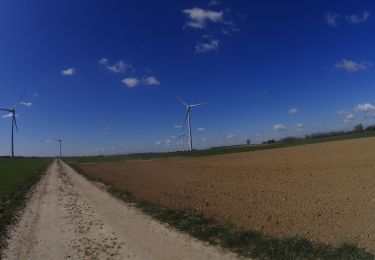
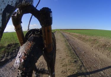
Mountainbike
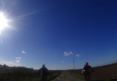
Mountainbike
Mountainbike
Mountainbike
Mountainbike
Mountainbike