


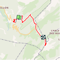

9 km | 15,6 km-effort


Benutzer


Kostenlosegpshiking-Anwendung
 SityTrail
IGN / Geografische Institute
SityTrail World
Die Welt öffnet sich für Sie
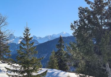
Tour Wandern von 11 km verfügbar auf Auvergne-Rhone-Alpen, Hochsavoyen, Fillière. Diese Tour wird von sofracoan vorgeschlagen.
Aller Simple de la route au pied de la cascade du pas du roc, puis plateau des glières et pointe de Puvat.
Prévoir le retour.
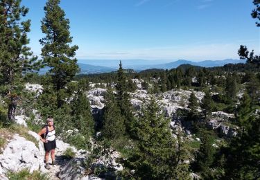
Wandern

Wandern

Wandern
Wandern
Wandern
Wandern
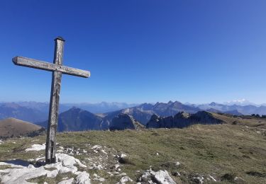
Wandern
Wandern
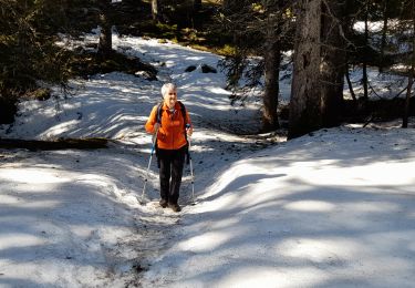
Schneeschuhwandern
ok