


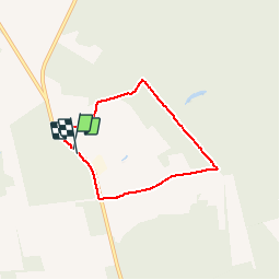


9,5 km | 12,1 km-effort

Benutzer GUIDE


Kostenlosegpshiking-Anwendung
 SityTrail
IGN / Geografische Institute
SityTrail World
Die Welt öffnet sich für Sie
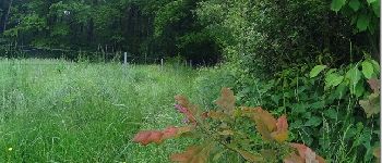
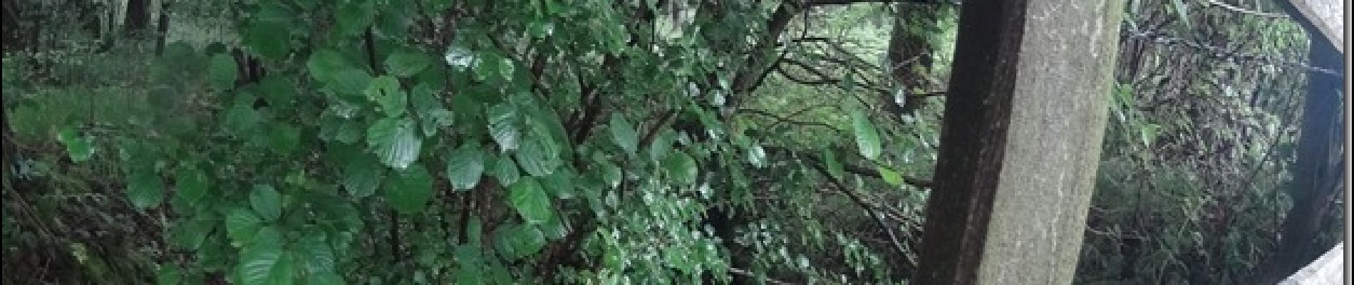
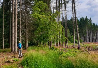
Tour Wandern von 4,8 km verfügbar auf Wallonien, Hennegau, Chimay. Diese Tour wird von pascalou73 vorgeschlagen.
Une belle rando dans le pays de Chimay. une région qui vas vous séduire avec la qualité des produits du terroir.bonne rando.


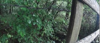
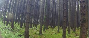
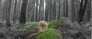
Wandern
Wandern
Wandern
Wandern
Wandern
Wandern
Wandern

Wandern
Wandern