


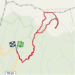


4,8 km | 5,5 km-effort

Benutzer


Kostenlosegpshiking-Anwendung
 SityTrail
IGN / Geografische Institute
SityTrail World
Die Welt öffnet sich für Sie
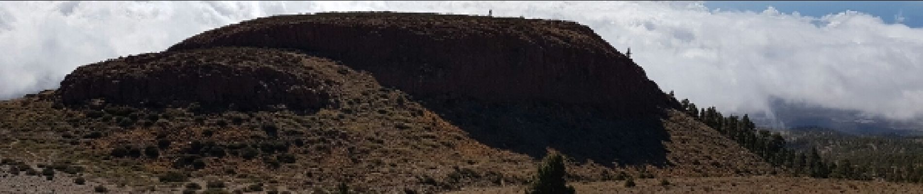
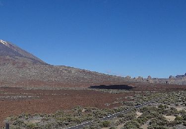
Tour Wandern von 6,9 km verfügbar auf Kanarische Inseln, Santa Cruz de Tenerife, Vilaflor. Diese Tour wird von pkermaidic vorgeschlagen.
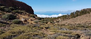
Rando facile à faire le matin.
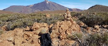
Attention, quand nous sommes passés (oct 2016), un panneau interdisait l'accès du sentier les mercredi et vendredi; ce panneau se trouvait tout de même au-dessus du point 2


Zu Fuß

Zu Fuß

Zu Fuß
Zu Fuß

Zu Fuß

Zu Fuß

Wandern

Zu Fuß

Wandern