


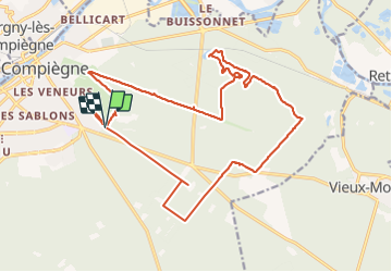


9,6 km | 12,8 km-effort
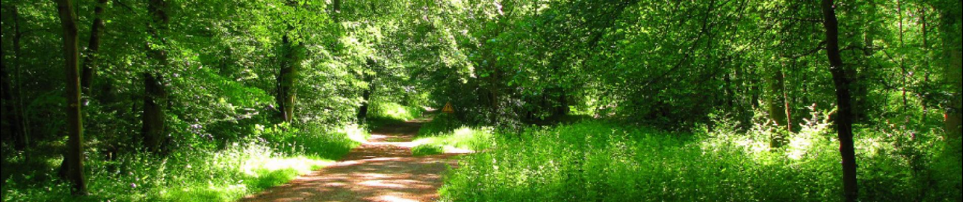

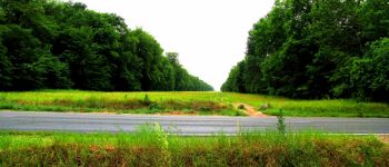
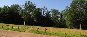
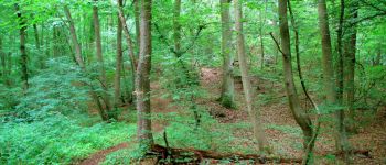
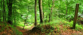
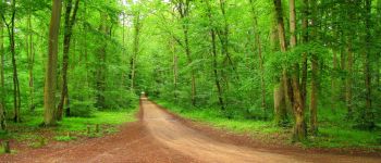
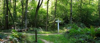
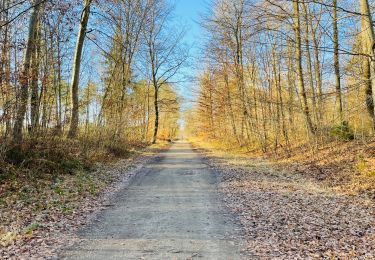
mes randos en forêt


Kostenlosegpshiking-Anwendung
 SityTrail
IGN / Geografische Institute
SityTrail World
Die Welt öffnet sich für Sie
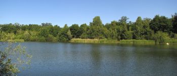
Tour Wandern von 21 km verfügbar auf Nordfrankreich, Oise, Compiègne. Diese Tour wird von en forêt de Compiègne vorgeschlagen.
voir aussi
http://foret-de-retz.over-blog.com/
06/ 2017
batterie de rechange pour iphone indispensable. Et si possible, ne pas laisser le cordon d'alim dans la voiture ...
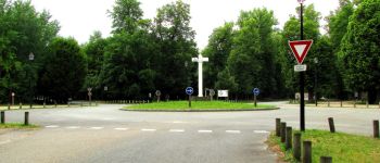
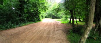
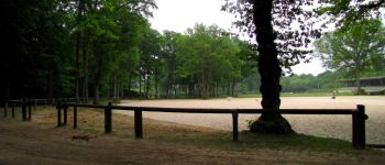
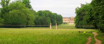
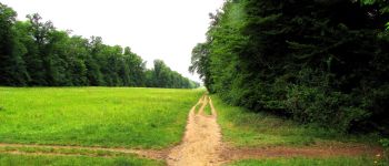
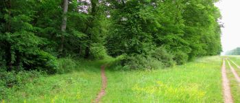
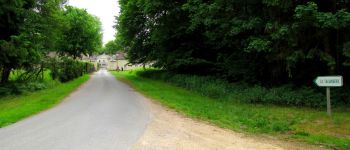
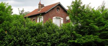
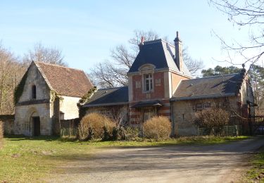
Au départ du carrefour Royal, prendre l'Avenue Royale et passer devant l'hippodrome. Revenir sur ses pas, tourner à gauche dans l'allée des Bordures puis à gauche au carrefour du Polygône. Suivre l'avenue du Polygône jusqu'à l'avenue des Acacias. Prendre à droite l'avenue des Beaux Monts jusqu'au carrefour du Tréan. Suivre à gauche la route du Tréan jusqu'au carrefour du Mont du Tremble. Prendre à droite le petit sentier qui monte au sommet du Mont du Tremble. Suivre ce sentier pour redescendre vers la route du Tréan. Traverser et rejoindre l'étang du Buissonnet puis le carrefour Villequier. Se diriger vers la route tournante du Mont du Tremble. Rejoindre le carrefour des Beaux Monts et prendre à gauche la Route de Berne. Tourner à droite dans un chemin (sur carte) effacé et très difficile à pratiquer. Arriver péniblement au carrefour du Génie de l'Air (chemin disparu dans les fougères...seul au monde). Le traverser pour rejoindre le carrefour du Port Caborne. Prendre à droite la Route de Morpigny jusqu'au carrefour du Gouverneur. Prendre à droite la Route de Saint-Pierre. Passer devant la maison forestière de Sainte Corneille. Tourner à gauche sur la Route des Beaux Monts puis tourner à droite dans la Route d'Humières. Tourner à droite dans la Route de Berne; passer devant la maison forestière de Humières, voir à droite l'I.M.E. puis suivre la Route de la Faisanderie jusqu'au carrefour Royal.


166 Fotos insgesamt. Klicken Sie auf ein Foto, um sie alle in der Galerie zu sehen.
Wandern

Wandern
Wandern
Wandern

Wandern

Wandern
Wandern
Zu Fuß
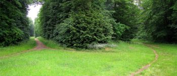
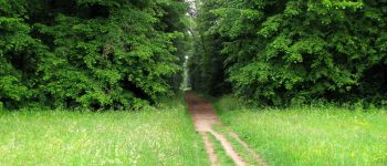
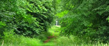
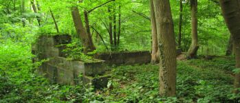
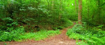
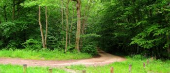
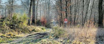
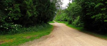
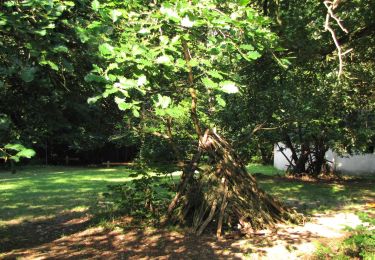
Quelques sentes à peine visibles et encombrées de branches, troncs et ronciers. Heureusement le SityTrail guide est détaillé et ne laisse pas place à l’erreur. Balade sympa. ( avril 2018)