


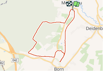

15,3 km | 21 km-effort


Benutzer


Kostenlosegpshiking-Anwendung
 SityTrail
IGN / Geografische Institute
SityTrail World
Die Welt öffnet sich für Sie
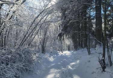
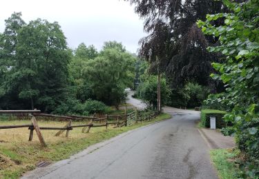
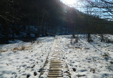
Tour Wandern von 8,4 km verfügbar auf Wallonien, Lüttich, Amel. Diese Tour wird von lucspa vorgeschlagen.
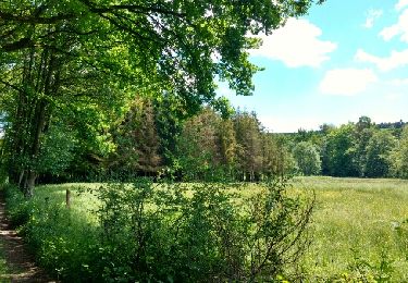
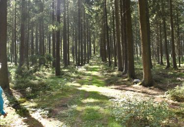
Le viaduc n'est pas accessible. Le parcours est plaisant. Possibilité de visiter la Montenauer Schinkenräucherei
http://www.montenauer.com/. Le long du RaVel, il y a des panneaux didactiques

Wandern
Rollerblading

Wandern
Wandern

Wandern
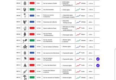
Wandern
Wandern
Wandern
Zu Fuß