


3,2 km | 5,4 km-effort
Landkreis Garmisch-Partenkirchen: Scopri i migliori percorsi: 20 a piedi e 8 marcia. Tutti questi percorsi, itinerari e attività outdoor sono disponibili nelle nostre app SityTrail per smartphone e tablet.
A piedi


• Trail created by Gemeinde Grainau.
A piedi
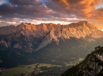
• Trail created by Blaues Land.
A piedi
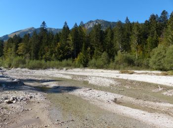
• Symbol: Rote Punkte
A piedi
• Trail created by Fremdenverkehrsamt Murnau. Symbol: grünes Schild "Moosrundweg Nr. 5"
A piedi
• Trail created by Blaues Land. Symbol: blaue 9 in schwarzem Kreis
A piedi
A piedi
A piedi
A piedi
A piedi
A piedi
A piedi
Marcia
•
Marcia
•
Marcia
•

A piedi
• Trail created by Blaues Land. Symbol: blauer Wanderer auf weißem Grund
A piedi
• Trail created by Blaues Land. Symbol: blauer Wanderer auf weißem Grund
A piedi
• Trail created by Blaues Land. Symbol: Blauer Wanderer auf weißem Grund
A piedi
A piedi
20 percorsi visualizzati su 28
Applicazione GPS da escursionismo GRATUITA
 SityTrail
IGN / Istituti geografici
SityTrail World
Il mondo è tuo