


3,4 km | 3,7 km-effort
Kreis Coesfeld: Scopri i migliori percorsi: 38 a piedi. Tutti questi percorsi, itinerari e attività outdoor sono disponibili nelle nostre app SityTrail per smartphone e tablet.

A piedi


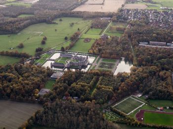
• Die Baumberge im Münsterland - wunderschöne Parklandschaft. Besonders für Radfahrer und Wanderer ist die Region ein h...
A piedi
• Die Baumberge im Münsterland - wunderschöne Parklandschaft. Besonders für Radfahrer und Wanderer ist die Region ein h...
A piedi
• Die Baumberge im Münsterland - wunderschöne Parklandschaft. Besonders für Radfahrer und Wanderer ist die Region ein h...

A piedi
• Die Baumberge im Münsterland - wunderschöne Parklandschaft. Besonders für Radfahrer und Wanderer ist die Region ein h...
A piedi
• Die Baumberge im Münsterland - wunderschöne Parklandschaft. Besonders für Radfahrer und Wanderer ist die Region ein h...
A piedi
• Die Baumberge im Münsterland - wunderschöne Parklandschaft. Besonders für Radfahrer und Wanderer ist die Region ein h...
A piedi
• Die Baumberge im Münsterland - wunderschöne Parklandschaft. Besonders für Radfahrer und Wanderer ist die Region ein h...
A piedi
• Die Baumberge im Münsterland - wunderschöne Parklandschaft. Besonders für Radfahrer und Wanderer ist die Region ein h...
A piedi
• Trail created by Baumberge Touristik. Symbol: weißes N3 in weißem Kreis auf schwarzem Grund
A piedi
• Trail created by Westfälischer Heimatbund. Symbol: A6
A piedi
• Trail created by land-schafft.
A piedi
• Trail created by Sauerländischer Gebirgsverein. Symbol: A6
A piedi
• Trail created by Sauerländischer Gebirgsverein. Symbol: A4
A piedi
• Trail created by Sauerländischer Gebirgsverein. Symbol: A3
A piedi
• Trail created by Heimatverein Senden. Symbol: A9
A piedi
• Trail created by Sauerländischer Gebirgsverein. Symbol: A3
A piedi
• Trail created by Sauerländischer Gebirgsverein. Symbol: A1
A piedi
• Trail created by WHB. Symbol: A5
A piedi
• Trail created by Westfälischer Heimatbund. Symbol: A3
A piedi
• Trail created by Westfälischer Heimatbund. Symbol: A2
20 percorsi visualizzati su 38
Applicazione GPS da escursionismo GRATUITA
 SityTrail
IGN / Istituti geografici
SityTrail World
Il mondo è tuo