


3,6 km | 5,4 km-effort
Paese basco: Scopri i migliori percorsi: 54 a piedi, 264 marcia e 3 camminata nordica. Tutti questi percorsi, itinerari e attività outdoor sono disponibili nelle nostre app SityTrail per smartphone e tablet.
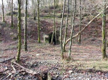
A piedi


• Symbol: white strip on top of green strip
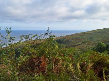
A piedi
• Trail created by Buruntzaldea.
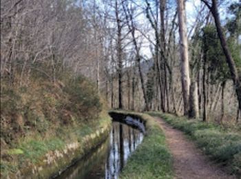
A piedi
• Trail created by Hernaniko Udala.
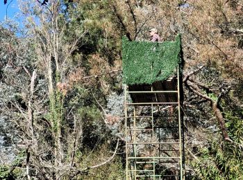
A piedi
• Trail created by Buruntzaldea.
A piedi
• Trail created by Buruntzaldea.
A piedi
• Trail created by Buruntzaldea.
A piedi
• Trail created by Buruntzaldea.
A piedi
• Trail created by Aizkorri-Aratz Parke Naturala.
A piedi
• Symbol: white strip on top of green strip

Marcia
Marcia
Marcia
Marcia
Marcia
Marcia
Marcia

Marcia
Marcia
A piedi
A piedi
20 percorsi visualizzati su 321
Applicazione GPS da escursionismo GRATUITA
 SityTrail
IGN / Istituti geografici
SityTrail World
Il mondo è tuo