


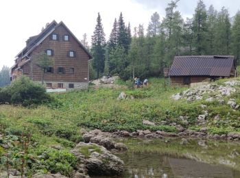
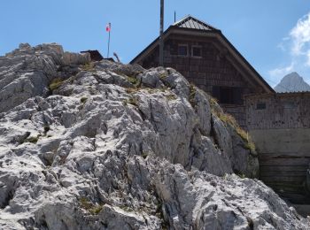
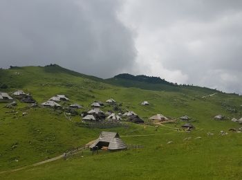
8,9 km | 14 km-effort
Sconosciuto: Scopri i migliori percorsi: 10 a piedi e 100 marcia. Tutti questi percorsi, itinerari e attività outdoor sono disponibili nelle nostre app SityTrail per smartphone e tablet.
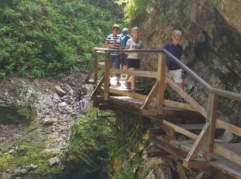
A piedi


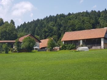
Marcia
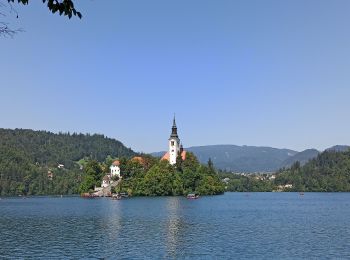
Marcia
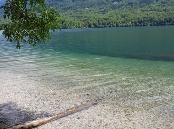
Marcia
Marcia
Marcia
Marcia
Marcia
Marcia
Marcia
A piedi
A piedi
A piedi
Marcia

Marcia
Marcia
Marcia
Marcia

A piedi
• http://wiki.openstreetmap.org/wiki/WikiProject_Austria/Wanderwege Symbol: no symbol, just guideposts
A piedi
• Symbol: weiss-grün 1
20 percorsi visualizzati su 110
Applicazione GPS da escursionismo GRATUITA
 SityTrail
IGN / Istituti geografici
SityTrail World
Il mondo è tuo