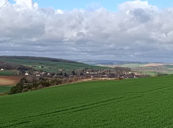
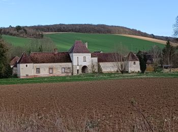
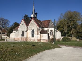
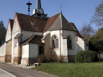
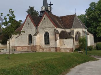
Bucey-en-Othe, Aube : I migliori sentieri, percorsi e passeggiate

2 commenti

Bucey-en-Othe: Scopri i migliori percorsi: 64 percorsi a piedi e 3 percorsi in bicicletta o MTB. Tutti questi percorsi, itinerari e attività outdoor sono disponibili nelle nostre app SityTrail per smartphone e tablet.


I percorsi migliori (0})
Percorso Marcia Bucey-en-Othe - Bucey en Othe - Photo
Marcia 9.992
Km

Marcia

Difficile
Bucey-en-Othe, Grande Est, Aube, France
10 km | 12,6 km-effort
3h 0min
198 m
198 m
Sì
FPortier

Percorso Marcia Bucey-en-Othe - Balade autour de Bicey - Photo
Marcia 9.571
Km

Marcia

Difficile
Bucey-en-Othe, Grande Est, Aube, France
9,6 km | 12,5 km-effort
2h 50min
217 m
216 m
Sì
FPortier

Percorso Marcia Bucey-en-Othe - Bucey en Othe - Photo
Marcia 6.666
Km

Marcia

Medio
Bucey-en-Othe, Grande Est, Aube, France
6,7 km | 8,6 km-effort
1h 46min
144 m
143 m
Sì
FPortier

Percorso Marcia Bucey-en-Othe - Au dessus de Bucey et Messon - Photo
Marcia 10.925
Km

Marcia

Medio
Bucey-en-Othe, Grande Est, Aube, France
10,9 km | 13,5 km-effort
2h 47min
196 m
196 m
Sì
FPortier

Percorso Marcia Bucey-en-Othe - Bucey en Othe - Photo
Marcia 9.691
Km

Marcia

Medio
Bucey-en-Othe, Grande Est, Aube, France
9,7 km | 11,9 km-effort
2h 17min
166 m
166 m
Sì
FPortier

Percorso Marcia Bucey-en-Othe - Bucey en Othe - Photo
Marcia 8.87
Km

Marcia

Molto facile
Bucey-en-Othe, Grande Est, Aube, France
8,9 km | 11,4 km-effort
2h 8min
190 m
191 m
Sì
FPortier

Percorso Marcia Bucey-en-Othe - Bucey en Othe  - Photo
Marcia 10.095
Km

Marcia

Molto facile
Bucey-en-Othe, Grande Est, Aube, France
10,1 km | 12,8 km-effort
2h 46min
202 m
203 m
Sì
FPortier

Percorso Marcia Bucey-en-Othe - Bucey en Othe - Photo
Marcia 10.039
Km

Marcia

Molto facile
Bucey-en-Othe, Grande Est, Aube, France
10 km | 12,3 km-effort
2h 38min
167 m
166 m
Sì
FPortier

Percorso Marcia Bucey-en-Othe - Bucey en Othe - Photo
Marcia 9.962
Km

Marcia

Medio
Bucey-en-Othe, Grande Est, Aube, France
10 km | 12,4 km-effort
2h 24min
184 m
185 m
Sì
FPortier

• balade forêt / découvert

Percorso Marcia Bucey-en-Othe - Forêts Bucey en Othe - Photo
Marcia 11.336
Km

Marcia

Difficile
Bucey-en-Othe, Grande Est, Aube, France
11,3 km | 14,1 km-effort
3h 17min
204 m
206 m
Sì
FPortier

Percorso Marcia Bucey-en-Othe - Bucey26042022  - Photo
Marcia 9.565
Km

Marcia

Medio
Bucey-en-Othe, Grande Est, Aube, France
9,6 km | 12 km-effort
2h 15min
181 m
182 m
Sì
FPortier

Percorso Marcia Bucey-en-Othe - La Tours des Roises - Bucey en Othe - Photo
Marcia 6.586
Km

Marcia

Medio
Bucey-en-Othe, Grande Est, Aube, France
6,6 km | 8,4 km-effort
1h 40min
137 m
138 m
Sì
tracegps

Percorso Marcia Bucey-en-Othe - Randonnée huîtres Bucey - Photo
Marcia 10.096
Km

Marcia

Difficile
Bucey-en-Othe, Grande Est, Aube, France
10,1 km | 12,6 km-effort
2h 53min
191 m
191 m
Sì
FPortier

Percorso Marcia Bucey-en-Othe - rando huitres - Photo
Marcia 4.87
Km

Marcia

Facile
(1)
Bucey-en-Othe, Grande Est, Aube, France
4,9 km | 5,9 km-effort
1h 8min
81 m
80 m
Sì
evelyne10

Percorso Marcia Bucey-en-Othe - RandoHuitrePP2023 - Photo
Marcia 4.85
Km

Marcia

Facile
Bucey-en-Othe, Grande Est, Aube, France
4,8 km | 5,9 km-effort
1h 34min
81 m
77 m
Sì
FPortier

Percorso Marcia Bucey-en-Othe - Rand0HuitresPP2023 - Photo
Marcia 4.816
Km

Marcia

Facile
Bucey-en-Othe, Grande Est, Aube, France
4,8 km | 5,9 km-effort
1h 30min
80 m
76 m
Sì
evelyne10

Percorso Marcia Bucey-en-Othe - Bucey - Photo
Marcia 16.999
Km

Marcia

Facile
Bucey-en-Othe, Grande Est, Aube, France
17 km | 20 km-effort
2h 58min
251 m
218 m
No
evelyne10

Percorso Marcia Bucey-en-Othe - Randonnée huîtres  - Photo
Marcia 5.983
Km

Marcia

Medio
Bucey-en-Othe, Grande Est, Aube, France
6 km | 7,1 km-effort
1h 59min
78 m
100 m
No
FPortier

Percorso Marcia Bucey-en-Othe - BUCEY le 10.01.22 (11 kms) - Photo
Marcia 11.209
Km

Marcia

Difficile
Bucey-en-Othe, Grande Est, Aube, France
11,2 km | 13,8 km-effort
2h 49min
196 m
196 m
Sì
COTELEVELYNE

Percorso Marcia Bucey-en-Othe - BUCEY LE 09.11.21 ( 11 kms) - Photo
Marcia 10.869
Km

Marcia

Difficile
Bucey-en-Othe, Grande Est, Aube, France
10,9 km | 13,5 km-effort
2h 26min
199 m
198 m
Sì
COTELEVELYNE

20 percorsi visualizzati su 67

Applicazione GPS da escursionismo GRATUITA

Logo SityTrail SityTrail

IGN / Istituti geografici

Scarica SityTrail dall'App Store Scarica SityTrail da Google Play

Logo SityTrail SityTrail World

Il mondo è tuo

Scarica SityTrail dall'App Store Scarica SityTrail da Google Play Scarica SityTrail da Huawei AppGallery

Attività

Chiudi
I miei abbonamenti