


DRUMONT2

patrickbeyrath
Utente


--
Difficoltà : Medio

Applicazione GPS da escursionismo GRATUITA
 SityTrail
IGN / Istituti geografici
SityTrail Plus
Il mondo è tuo
Chi siamo
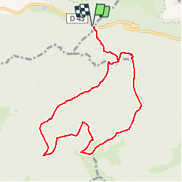
Percorso Marcia di 9,2 km da scoprire a Grande Est, Vosges, Ventron. Questo percorso è proposto da patrickbeyrath.
Descrizione
Départ parking Col d'Oderen suivre rectangle bleuGR531 direction les DRUMONTS , à la Ferme auberge du Drumontrond jaune vers étang du Drumont jusqu'au Chalet du Plein de repos puis triangle rouge jusqu'au Chalet du Pont Martin et retour Col d'oderen, le tout environ 11km
Localizzazione
Commenti