5,8 km | 6,9 km-effort
Location history from 2021-08-21 to 2021-08-21
mattr91
Utente
Lunghezza
16,7 km
Altitudine massima
99 m
Dislivello positivo
147 m
Km-Effort
18,6 km
Altitudine minima
39 m
Dislivello negativo
144 m
Boucle
Sì
Data di creazione :
2021-08-22 16:54:01.942
Ultima modifica :
2021-08-23 07:23:30.548
2h27
Difficoltà : Facile
3h00
Difficoltà : Facile
Applicazione GPS da escursionismo GRATUITA
Chi siamo
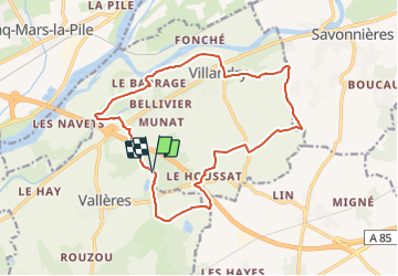
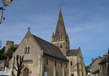
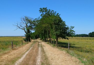
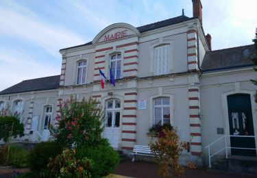
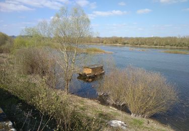
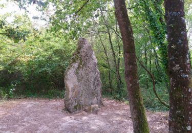
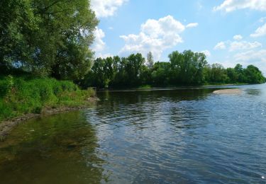
Percorso Equitazione di 16,7 km da scoprire a Centro, Indre-et-Loire, Villandry. Questo percorso è proposto da mattr91.
Localizzazione
Paese:
France
Regione :
Centro
Dipartimento/Provincia :
Indre-et-Loire
Comune :
Villandry
Località :
Unknown
Partenza:(Dec)
Partenza:(UTM)
310334 ; 5243566 (31T) N.
Commenti
Percorsi nelle vicinanze
Cinq-Mars-la-Pile - Langeais - 14km 205m 3h05 - 2024 02 14
Marcia
Facile
Cinq-Mars-la-Pile,
Centro,
Indre-et-Loire,
France
14 km | 16,7 km-effort
3h 5min
Sì
Savonnières - les Fontaines GR3 et PRs - 20.1km 190m 4h40 - 2022 05 12
Marcia
Facile
Savonnières,
Centro,
Indre-et-Loire,
France
20 km | 23 km-effort
4h 40min
Sì
Cinq-Mars-la-Pile - le Mortier Rougeau - 19.5km 265m 4h30 - 2022 04 17
Marcia
Facile
Cinq-Mars-la-Pile,
Centro,
Indre-et-Loire,
France
19,7 km | 23 km-effort
4h 30min
Sì
Vallères - Circuit 11km - 10.7km 115m 2h20 - 2020 07 11
Marcia
Molto facile
Vallères,
Centro,
Indre-et-Loire,
France
10,7 km | 12,2 km-effort
2h 20min
Sì
Druye - Sentier du menhir - 14km 95m 2h50 - 2019 08 03
Marcia
Molto facile
,
Centro,
Indre-et-Loire,
France
14 km | 15,2 km-effort
2h 50min
Sì
Villandry
A piedi
Medio
(1)
Villandry,
Centro,
Indre-et-Loire,
France
22 km | 24 km-effort
Sconosciuto
Sì
Villandry - Vallée du Vau - GR3 - 2016 02 27
Marcia
Facile
Villandry,
Centro,
Indre-et-Loire,
France
12,2 km | 14,4 km-effort
3h 0min
Sì
Savonnieres - Bec du Cher - 2015 11 22
Marcia
Molto facile
Savonnières,
Centro,
Indre-et-Loire,
France
11,3 km | 12,1 km-effort
2h 15min
Sì
Top. Pas mal de route mais super sympa