


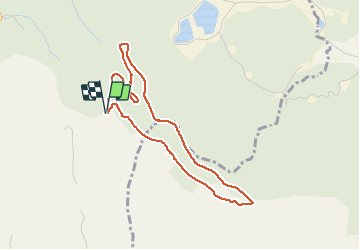


4,7 km | 6,5 km-effort

Benutzer


Kostenlosegpshiking-Anwendung
 SityTrail
IGN / Geografische Institute
SityTrail World
Die Welt öffnet sich für Sie
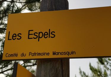
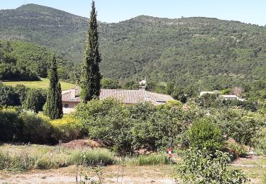
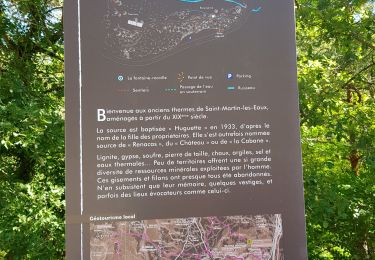
Tour Wandern von 4 km verfügbar auf Provence-Alpes-Côte d'Azur, Alpes-de-Haute-Provence, Saint-Martin-les-Eaux. Diese Tour wird von liocol vorgeschlagen.
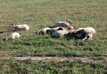
Petite boucle de 4 Kms sans difficulté, même avec de jeunes enfants.


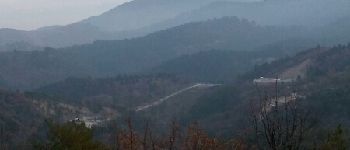
Wandern

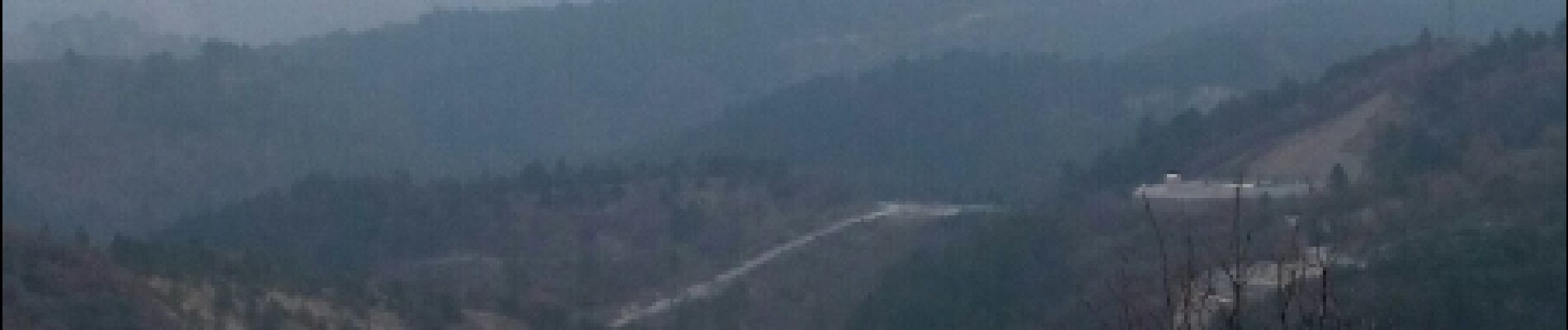
Wandern
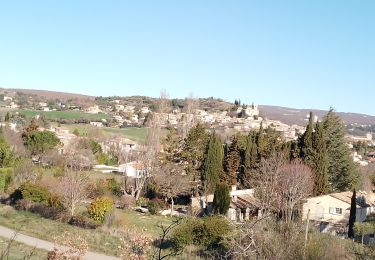
Wandern
Wandern
Wandern
Wandern
Wandern
Wandern
Wandern