


5,3 km | 9,6 km-effort
Aucun : Entdecken Sie die besten Touren : 57 zu Fuß und 4 mit dem Fahrrad oder Mountainbike. Alle diese Touren, Trails, Routen und Outdoor-Aktivitäten sind in unseren SityTrail-Apps für Smartphones und Tablets verfügbar.
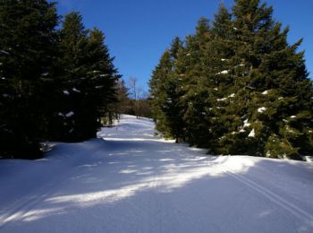
Schneeschuhwandern


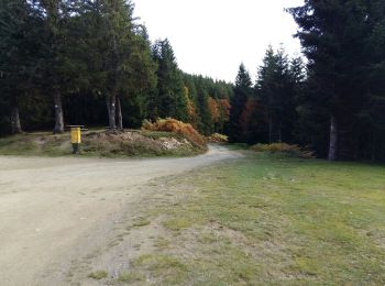
Zu Fuß

Wintersport
• nordique
Wintersport
• fond
Wandern
Wandern
Wandern
Wandern

Wandern
Andere Aktivitäten
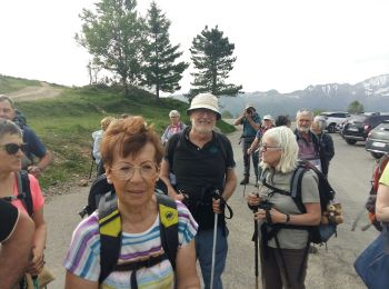
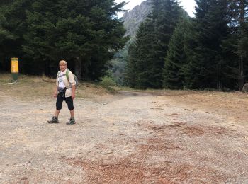
• Dernière demi étape pour moi après 260 km sur ce GR10. Je rentre à Tours.
Wandern
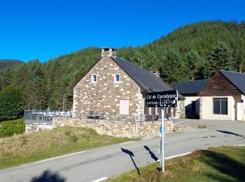
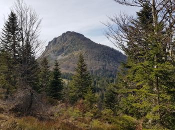
• aller par la crête du soum de pêne retour par chemin
Wandern
Wandern
Wandern
Gleitschirmfliegen
Wandern
Wandern
Wandern
Schneeschuhwandern
Wandern
20 Angezeigte Touren bei 73
Kostenlosegpshiking-Anwendung
 SityTrail
IGN / Geografische Institute
SityTrail World
Die Welt öffnet sich für Sie