


5,3 km | 9,6 km-effort
Aucun: Ontdek de beste tochten: 57 te voet en 4 met de fiets of mountainbike. Al deze tochten, trajecten, routes en outdoor activiteiten zijn beschikbaar in onze SityTrail-apps voor smartphones en tablets.
Sneeuwschoenen


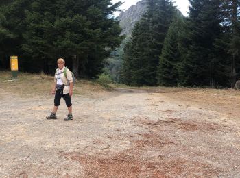
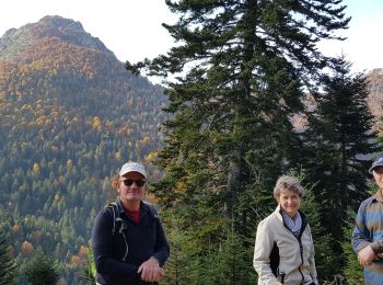
Te voet

Wintersport
• nordique
Wintersport
• fond
Stappen
Stappen
Stappen
Stappen

Stappen
Andere activiteiten
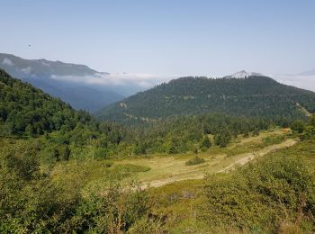
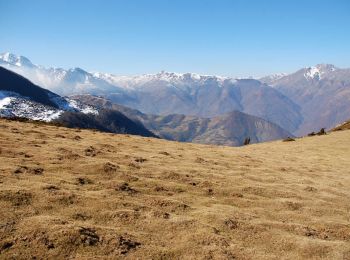
• Dernière demi étape pour moi après 260 km sur ce GR10. Je rentre à Tours.
Stappen
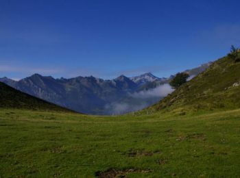
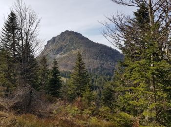
• aller par la crête du soum de pêne retour par chemin
Stappen
Stappen
Stappen
Paragliding
Stappen
Stappen
Stappen
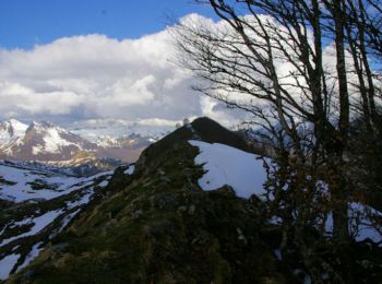
Sneeuwschoenen
Stappen
20 tochten weergegeven op 73
Gratisgps-wandelapplicatie
 SityTrail
IGN / Geografische instituten
SityTrail World
De wereld gaat voor u open