


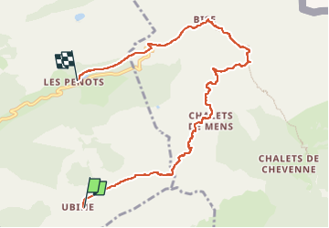


9,2 km | 22 km-effort

Benutzer


Kostenlosegpshiking-Anwendung
 SityTrail
IGN / Geografische Institute
SityTrail World
Die Welt öffnet sich für Sie
Tour Wandern von 8,6 km verfügbar auf Auvergne-Rhone-Alpen, Hochsavoyen, Vacheresse. Diese Tour wird von reneperrin vorgeschlagen.
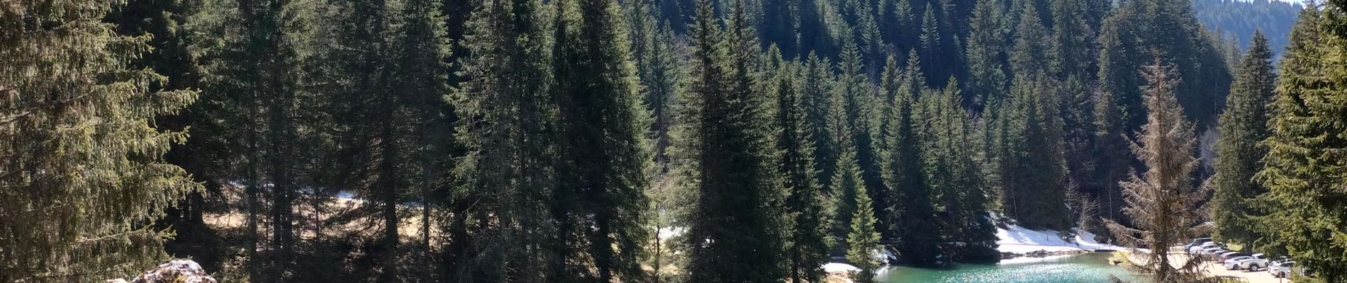
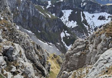
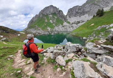
randonnée de printemps, encore beaucoup de neige et des passages exposés


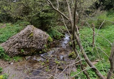
21 Fotos insgesamt. Klicken Sie auf ein Foto, um sie alle in der Galerie zu sehen.

Wandern

Wandern

Wandern
Wandern
Wandern
Wandern

Wandern
Wandern
Zu Fuß