


21 km | 37 km-effort
Orcières: Discover the best trails: 1 geocaching. All these trails, routes and outdoor activities are available in our SityTrail applications for smartphones and tablets.
Geocaching


Other activity
•
Other activity
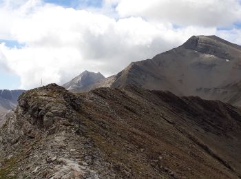
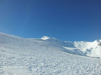
• ski randonnée

Other activity
• Roc Diolon depuis Prapic par le lac des Pisses Ski Rando
Other activity
• Ski rando Cole des Jalabres Est Depuis Prapic
Other activity
• Ski rando Le Grand Pinier depuis Prapic
Other activity
•
Other activity
Other activity
Other activity
Other activity
11 trails displayed on 11
FREE GPS app for hiking
 SityTrail
IGN / Geographical institutes
SityTrail World
The world is yours!