


7.4 km | 16.7 km-effort
Hautes-Alpes: Discover the best trails: 1 roller skating, 20 via ferrata, 8 fishing, 7 climbing and 1 geocaching. All these trails, routes and outdoor activities are available in our SityTrail applications for smartphones and tablets.

Other activity


Via ferrata
Geocaching
Climbing
Via ferrata
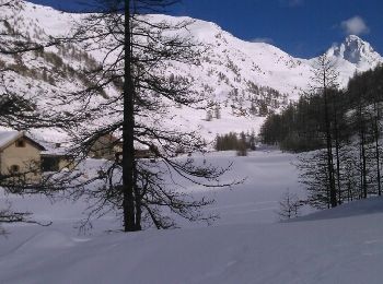
Other activity
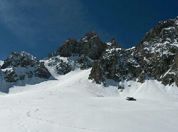
• splitboard cassé monter avec les crampons descendu avec le splitboard bidouillé. fatigué a l arrivée
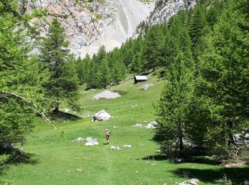
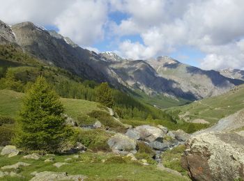
Other activity
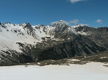
• itinéraire de montée : Col du Longet - Pic Traversier - traversée sud et remontée vers Pointe des Sagnes longues. La ...
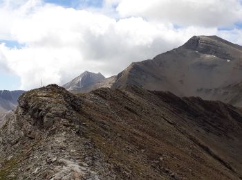
Other activity
•
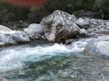
Fishing
Fishing

Other activity
• Difficile à refaire par village villard sans passer par la combe chemin à l envers par bramousse d abord
Other activity
• Névache Mongenevre
Other activity
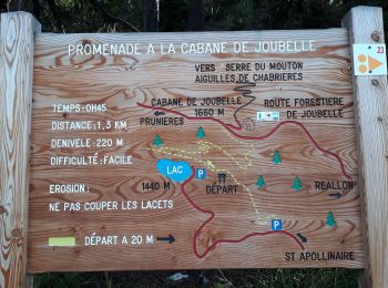
• Départ route du col d'Izoard. Le Laus vers 2144m se garer au virage direction les chalets d'Izoard. Nous avons voul...
Other activity
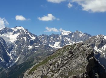
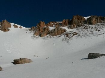
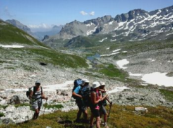
• Départ après Ceillac La vallée du Melezet au fond garer la voiture. Et monter au lac St Anne.... course à faire av...
Other activity
• Villar st Pancrase les Ayes lac dOrceyrette se garer au plus haut sur la route en direction des chalets d'Orceyrett...
Other activity
• Départ du dernier parking sur la route des Drayères. Passer la passerelle à gauche et monter au lac des Béraudes...

Other activity
• La claree 5 refuge laBuffere
Other activity
• la claree 2 Drayere

Other activity
• la claree 3 Refuge Laval
Other activity
•
20 trails displayed on 363
FREE GPS app for hiking
 SityTrail
IGN / Geographical institutes
SityTrail World
The world is yours!