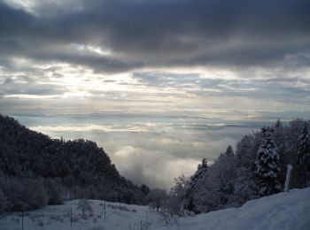
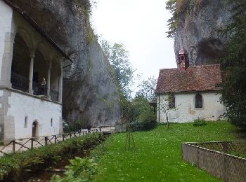
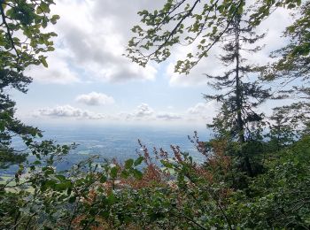
Bezirk Lebern, Solothurn: Best trails, routes and walks

Bezirk Lebern: Discover the best trails: 10 hiking trails. All these trails, routes and outdoor activities are available in our SityTrail applications for smartphones and tablets.


The best trails (20)
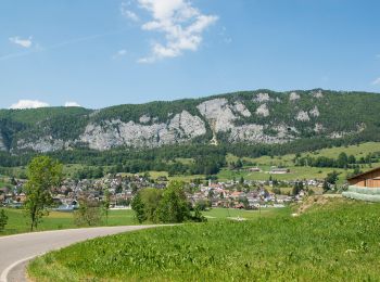
Trail On foot Balm bei Günsberg - Balmberg Passhöhe - Welschenrohr - Photo
On foot 3.605
Km
PRO

On foot

Easy
Balm bei Günsberg, Solothurn, Bezirk Lebern, Switzerland
3.6 km | 5.1 km-effort
1h 9min
12 m
413 m
No
SityTrail - itinéraires balisés pédestres

• Symbol: gelbe Raute

Trail On foot Oberdorf (SO) - Planetenweg - Photo
On foot 9.891
Km
PRO

On foot

Easy
Oberdorf (SO), Solothurn, Bezirk Lebern, Switzerland
9.9 km | 15.2 km-effort
3h 27min
419 m
347 m
No
SityTrail - itinéraires balisés pédestres

Trail On foot Grenchen - Wäsmeli-Romontberg - Photo
On foot 3.154
Km
PRO

On foot

Easy
Grenchen, Solothurn, Bezirk Lebern, Switzerland
3.2 km | 4.5 km-effort
1h 1min
103 m
94 m
No
SityTrail - itinéraires balisés pédestres

• Symbol: gelbe Raute

Trail Walking Grenchen - bike_grenchenberg_2008 - Photo
Walking 43.324
Km
GUIDE+

Walking

Very easy
Grenchen, Solothurn, Bezirk Lebern, Switzerland
43 km | 66 km-effort
12h 29min
1693 m
1708 m
No
My Switzerland

Trail Walking Rüttenen - Circuit Rüttenen - Soleure 09.10.16 - Photo
Walking 9.705
Km

Walking

Easy
Rüttenen, Solothurn, Bezirk Lebern, Switzerland
9.7 km | 12.7 km-effort
2h 44min
227 m
227 m
Yes
duamerg

Trail Other activity Balm bei Günsberg - Balmberg - Wolfisberg - Photo
Other activity 11.007
Km

Other activity

Very easy
Balm bei Günsberg, Solothurn, Bezirk Lebern, Switzerland
11 km | 15.7 km-effort
Unknown
255 m
644 m
No
steger12

Trail Other activity Balm bei Günsberg - Balmberg - Oensingen - Photo
Other activity 16.313
Km

Other activity

Very easy
Balm bei Günsberg, Solothurn, Bezirk Lebern, Switzerland
16.3 km | 24 km-effort
Unknown
428 m
1027 m
No
steger12

Trail Walking Grenchen - bike_test2 - Photo
Walking 1.03
Km
GUIDE+

Walking

Very easy
Grenchen, Solothurn, Bezirk Lebern, Switzerland
1 km | 1.9 km-effort
14min
0 m
273 m
No
My Switzerland

Trail Other activity Grenchen - Granges - Le Chaluet - Photo
Other activity 18.493
Km

Other activity

Very easy
Grenchen, Solothurn, Bezirk Lebern, Switzerland
18.5 km | 32 km-effort
Unknown
1090 m
784 m
No
pierrepraz

Trail Other activity Oberdorf (SO) - Oberdorf - rocher de Granges - Photo
Other activity 18.543
Km

Other activity

Very easy
Oberdorf (SO), Solothurn, Bezirk Lebern, Switzerland
18.5 km | 27 km-effort
Unknown
474 m
1084 m
No
rebetez

Trail Other activity Oberdorf (SO) - SO Weissenstein -Grenchenberg - Photo
Other activity 9.735
Km

Other activity

Very easy
Oberdorf (SO), Solothurn, Bezirk Lebern, Switzerland
9.7 km | 16.3 km-effort
Unknown
511 m
445 m
No
hrb

Trail Walking Oberdorf (SO) - 8 Weissenstein - Frinvillier - Photo
Walking 24.613
Km

Walking

Very easy
Oberdorf (SO), Solothurn, Bezirk Lebern, Switzerland
25 km | 37 km-effort
6h 30min
753 m
1479 m
No
hallauer

Trail Winter sports Langendorf - Tour VTT Röti - Photo
Winter sports 22.551
Km

Winter sports

Very easy
Langendorf, Solothurn, Bezirk Lebern, Switzerland
23 km | 36 km-effort
Unknown
993 m
988 m
Yes
dondon

Trail Other activity Oberdorf (SO) - Jura Oberdorf - Grenchenberg - Photo
Other activity 11.422
Km

Other activity

Very easy
Oberdorf (SO), Solothurn, Bezirk Lebern, Switzerland
11.4 km | 22 km-effort
Unknown
960 m
306 m
No
bayardpaul

Trail Other activity Lommiswil - Jura Lommiswil - Solothurn - Photo
Other activity 10.591
Km

Other activity

Very easy
Lommiswil, Solothurn, Bezirk Lebern, Switzerland
10.6 km | 13.7 km-effort
Unknown
186 m
373 m
No
bayardpaul

Trail Other activity Oberdorf (SO) - Jura Hinter Weissenstein - Frinviller - Photo
Other activity 23.618
Km

Other activity

Very easy
Oberdorf (SO), Solothurn, Bezirk Lebern, Switzerland
24 km | 33 km-effort
Unknown
572 m
1236 m
No
bayardpaul

Trail Other activity Oberdorf (SO) - Weissenstein - Althüsli - Photo
Other activity 5.603
Km

Other activity

Very easy
Oberdorf (SO), Solothurn, Bezirk Lebern, Switzerland
5.6 km | 8.2 km-effort
Unknown
203 m
165 m
No
bayardpaul

Trail Walking Grenchen - Scheffert - Photo
Walking 134.38
Km

Walking

Grenchen, Solothurn, Bezirk Lebern, Switzerland
134 km | 246 km-effort
13h 40min
8441 m
8049 m
No
chantalwaltzer

Trail Walking Rüttenen - Weissenstein - Photo
Walking 0.704
Km

Walking

Medium
Rüttenen, Solothurn, Bezirk Lebern, Switzerland
704 m | 1.3 km-effort
1h 47min
60 m
0 m
No
JorgV

Trail Walking Oberdorf (SO) - Fussvariante Hasenmatte - Photo
Walking 2.944
Km

Walking

Very easy
Oberdorf (SO), Solothurn, Bezirk Lebern, Switzerland
2.9 km | 8.6 km-effort
Unknown
568 m
0 m
No
hallauer

20 trails displayed on 20

FREE GPS app for hiking

Logo SityTrail SityTrail

IGN / Geographical institutes

Download SityTrail from the App Store Download SityTrail from Google Play

Logo SityTrail SityTrail World

The world is yours!

Download SityTrail from the App Store Download SityTrail from Google Play Download SityTrail on Huawei AppGallery

Activities

Nearby regions

Close
My subscriptions