


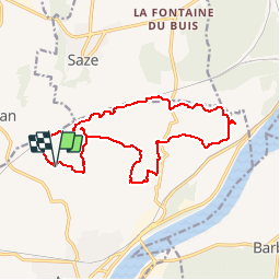

17.7 km | 23 km-effort

User


FREE GPS app for hiking
 SityTrail
IGN / Geographical institutes
SityTrail World
The world is yours!
Trail Walking of 17.2 km to be discovered at Occitania, Gard, Aramon. This trail is proposed by tracegps.
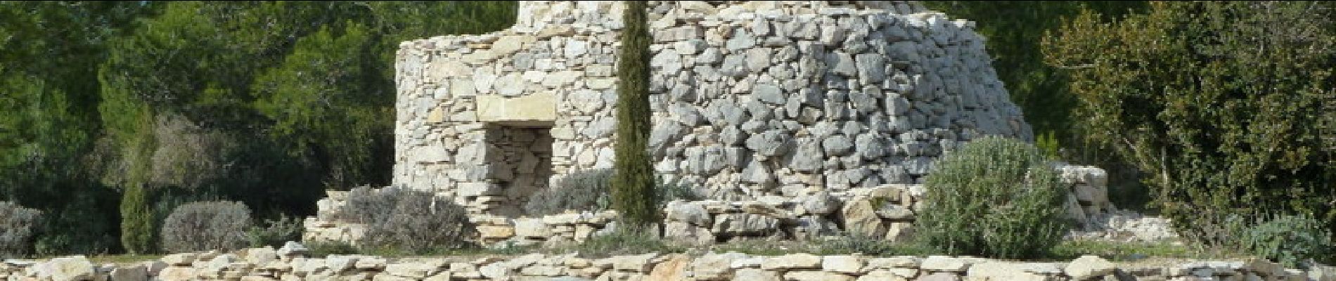
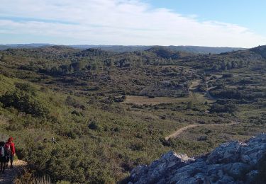
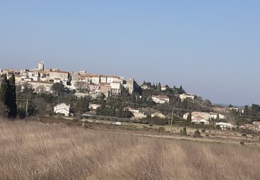
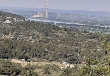
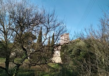
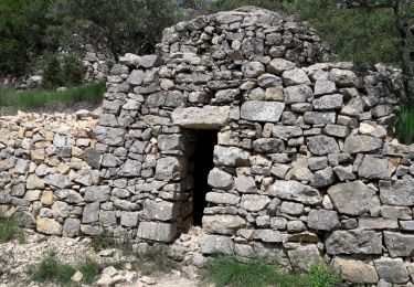
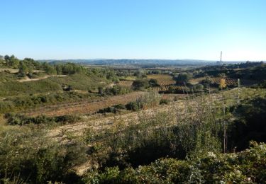
Surprenante rando dans un paysage de garrigue typique ou le "Kermés" rivalise avec le "Pin d'Alep". Belles vues sur la vallée du Rhône au confluent avec la Durance. Parking au "Four à Chaux" (en cours de rénovation). De celui-ci, monter vers les collines et suivre la ligne TGV. Faire la visite d'une ancienne carrière (Peyrequérode). Gagner un belvédère sur la vallée du Rhône (AR), puis le pied du "Rocher Pointu" (source, bancs, pique nique). Passer à "Plane d'Houme" pour voir une belle capitelle superbement rénovée. Franchir les collines pour retrouver le parking. Bonne rando à tous.


Walking
Walking
Walking
Walking
Walking
Walking
Mountain bike

Walking