


9.4 km | 13.8 km-effort

User


FREE GPS app for hiking
 SityTrail
IGN / Geographical institutes
SityTrail World
The world is yours!
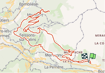
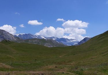
Trail Walking of 37 km to be discovered at Auvergne-Rhône-Alpes, Savoy, Bozel. This trail is proposed by franquen.
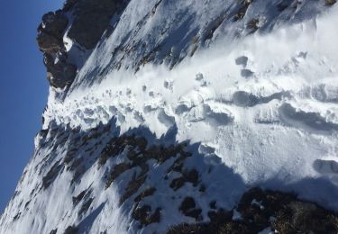
Belle rando avec une partie faite à pieds car trop raide (400 m de dénivelé entre Montfort et Hauteville).


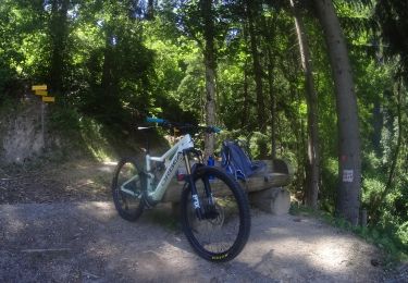
Mountain bike

Walking
Walking
Walking
Walking
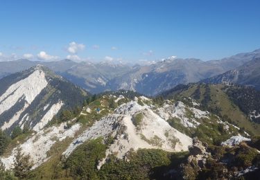
Walking
Walking
Walking
Walking