


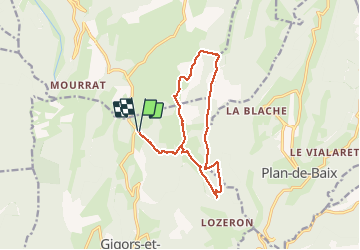

11 km | 18.1 km-effort


User


FREE GPS app for hiking
 SityTrail
IGN / Geographical institutes
SityTrail World
The world is yours!
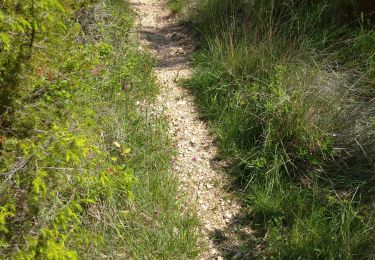
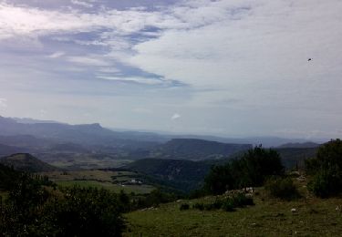
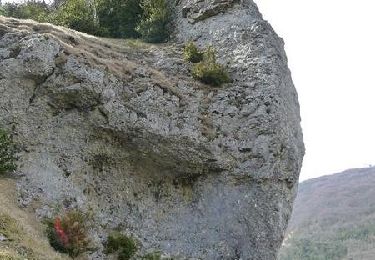
Trail Walking of 14.1 km to be discovered at Auvergne-Rhône-Alpes, Drôme, Gigors-et-Lozeron. This trail is proposed by ajd26.
rando sympa avec des beaux points de vue, on n'est pas descendu jusqu'à Lozeron pour cause de brouillard (environ 3 km de plus)


Walking
Walking

Walking

Walking

Walking
Walking
Walking
Walking
Mountain bike