


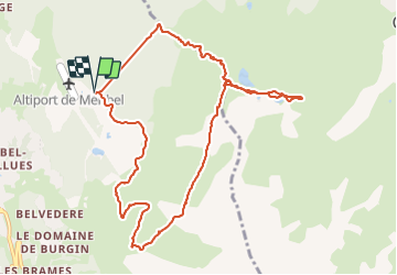

6.8 km | 11.1 km-effort

User


FREE GPS app for hiking
 SityTrail
IGN / Geographical institutes
SityTrail World
The world is yours!
Trail Walking of 11.4 km to be discovered at Auvergne-Rhône-Alpes, Savoy, Les Allues. This trail is proposed by Thomas LESAINE.
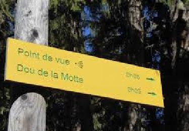
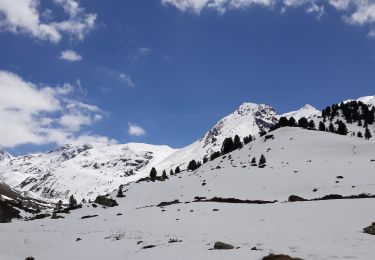
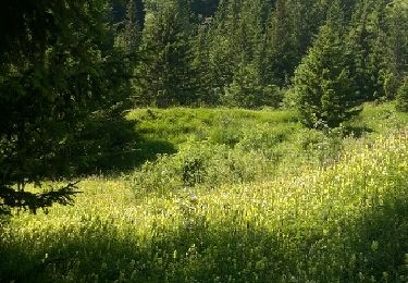
Grande balade qui permet de grimper rapidement au milieu des sapins puis de profiter de la vue sur la vallée de Meribel et de Courchevel. La descente via la Saulire (en suivant les pistes de ski) permet d’admirer la vallée.


Walking

Other activity

Mountain bike

Walking
Walking
Walking
On foot
Walking
Walking