


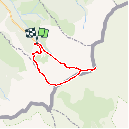

5.4 km | 8.6 km-effort

User


FREE GPS app for hiking
 SityTrail
IGN / Geographical institutes
SityTrail World
The world is yours!
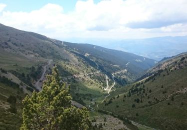
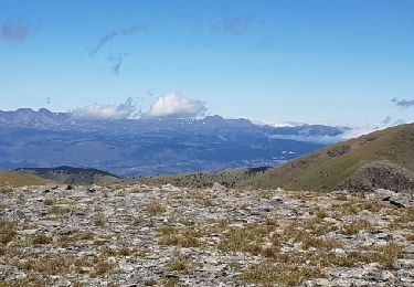
Trail Walking of 13.2 km to be discovered at Occitania, Pyrénées-Orientales, Err. This trail is proposed by ip45.
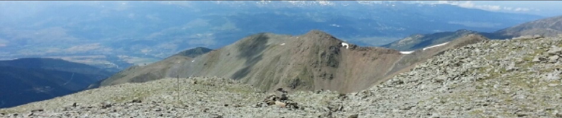
randonnée très difficile avec un gros dénivelé. Passage très dur dans les cailloux avoir un pied montagnard.Temps changeant prévoir et équipement chaud avec coupe vent. Mais reste un e belle randonnée qui se mérite.


Walking

Walking
Walking

Snowshoes
Walking
Walking

Walking

Snowshoes
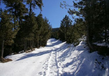
Snowshoes