


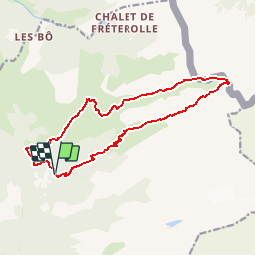


17.3 km | 35 km-effort


User


FREE GPS app for hiking
 SityTrail
IGN / Geographical institutes
SityTrail World
The world is yours!
Trail Walking of 14.9 km to be discovered at Auvergne-Rhône-Alpes, Upper Savoy, Samoëns. This trail is proposed by bourel.jacques.
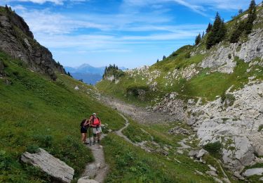
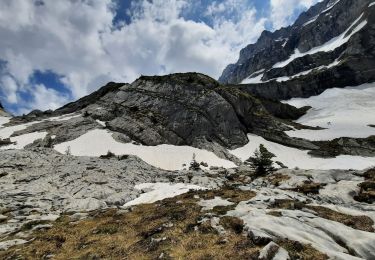
Belle balade en boucle, longue avec un dénivelé important mais sans aucune difficulté technique particulière.
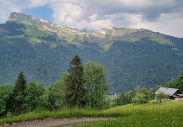
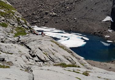
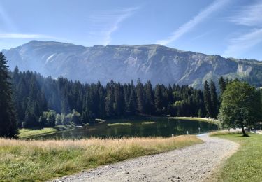
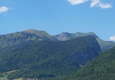
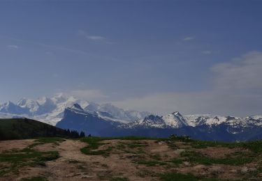
Elle parcourt des paysages variés (forêt, alpage, chaos de rocher). La descente se fait dans un alpage très dégagé qui offre une vue panoramique remarquable sur toute la partie nord de la Haute-Savoie (Mont-Blanc, Bornes, Aravis, Grand Massif ...)
Le départ de fait depuis le parking des Allamands (1 km après le hameau des Allamands, à 7 km au nord est de Samoëns).
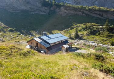
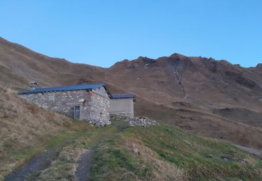
Le chemin passe par 2 refuges (Bostan-Tornay à la montée et la Golèse à la descente) ouvert en période estivale.
Walking
Walking
Walking
Walking
Walking
Walking
Walking
Walking
Walking