


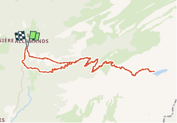

14.9 km | 32 km-effort

User


FREE GPS app for hiking
 SityTrail
IGN / Geographical institutes
SityTrail World
The world is yours!
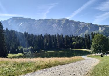
Trail Walking of 14.2 km to be discovered at Auvergne-Rhône-Alpes, Upper Savoy, Samoëns. This trail is proposed by djeepee74.
BOUCLE... live le 20220728.
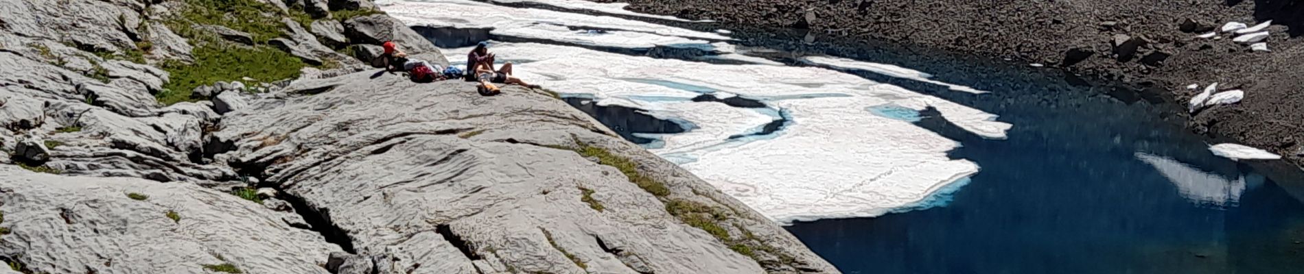
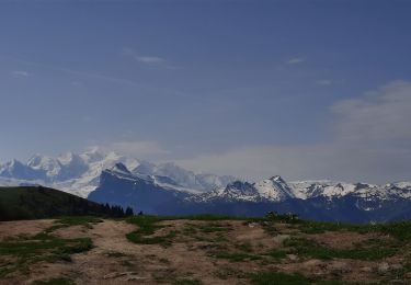
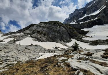
C'est long et haut, certes... mais la récompense est au sommet: un lac gelé même en été !
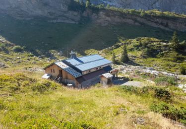
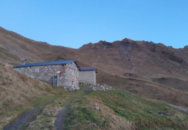
Attention: le refuge du Folly est fermé cette saison estivale de 2022...
Le retour peut se faire par la dalle du Tuet (comme à la montée)... à éviter toutefois par temps humide... le dénivelé est alors réduit de 150 m.


Walking
Walking
Walking
Walking
Walking
Walking
Walking
Walking
Walking