


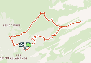

14.9 km | 32 km-effort

User


FREE GPS app for hiking
 SityTrail
IGN / Geographical institutes
SityTrail World
The world is yours!
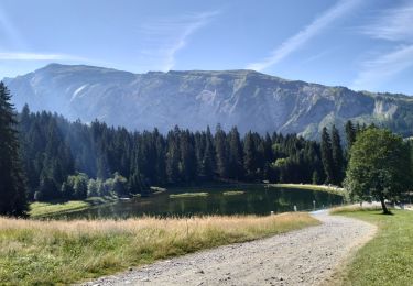
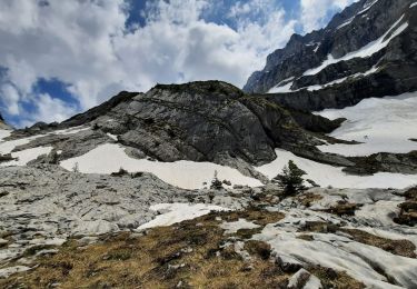
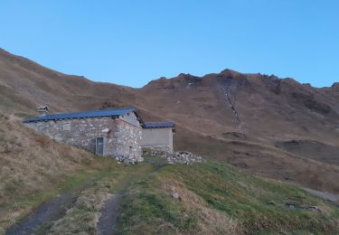
Trail Walking of 12.8 km to be discovered at Auvergne-Rhône-Alpes, Upper Savoy, Samoëns. This trail is proposed by djeepee74.
BOUCLE... live le 20220725
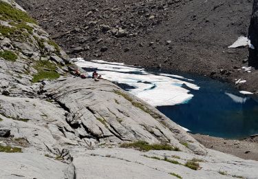
Le lac des Verdets est à sec.


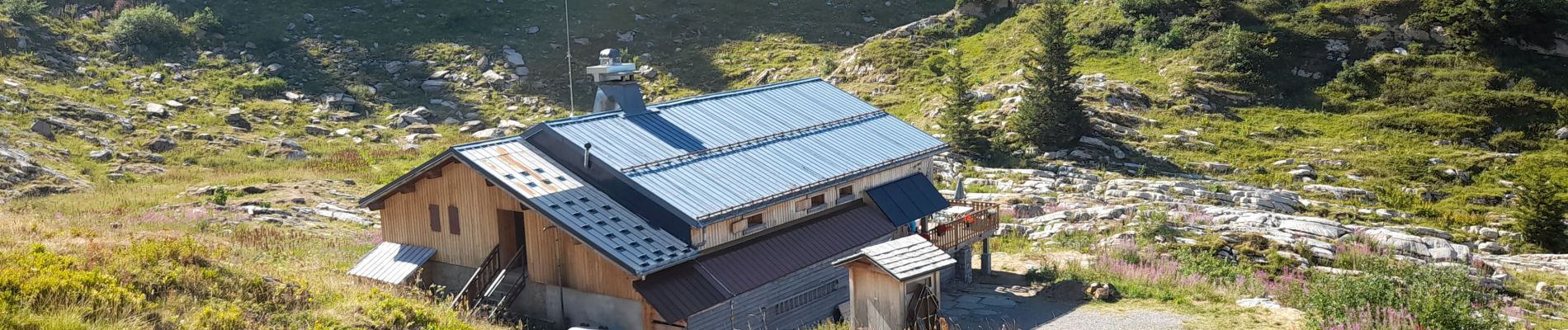
Walking
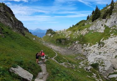
Walking
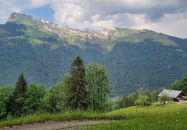
Walking
Walking
Walking
Walking
Walking
Walking
Walking