


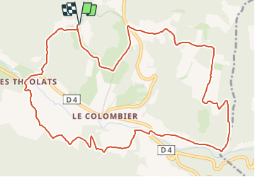

7.1 km | 8.2 km-effort


User GUIDE


FREE GPS app for hiking
 SityTrail
IGN / Geographical institutes
SityTrail World
The world is yours!
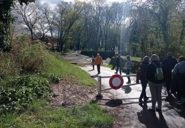
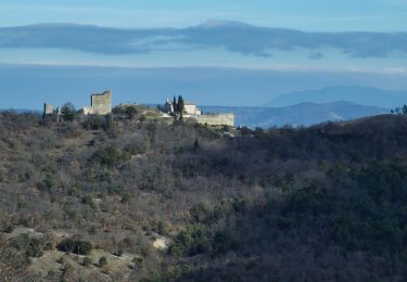
Trail Walking of 7.3 km to be discovered at Auvergne-Rhône-Alpes, Drôme, Rochefort-en-Valdaine. This trail is proposed by thonyc.
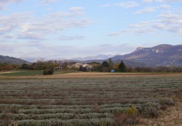
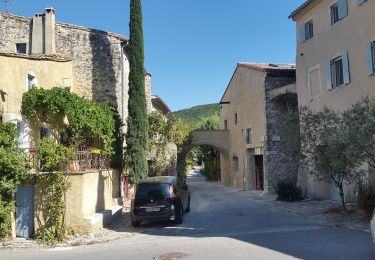
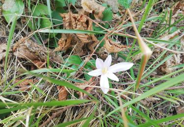
Du site médiéval de Rochefort, découvrez les versants de la vallée de la Citelles et grimpez sur le replat du Janeston. Le préfixe "jan" (bois de genêts, lande à genévriers) est caractéristique d'une végétation méditerranéenne.


Walking

Walking

Walking

Mountain bike
Walking
Walking


sport
Walking
Walking