


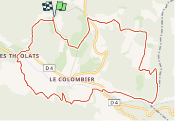

7,1 km | 8,2 km-effort


Utilisateur GUIDE


Application GPS de randonnée GRATUITE
 SityTrail
IGN / Instituts géographiques
SityTrail World
Le monde est à vous
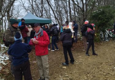
Randonnée Marche de 7,3 km à découvrir à Auvergne-Rhône-Alpes, Drôme, Rochefort-en-Valdaine. Cette randonnée est proposée par thonyc.
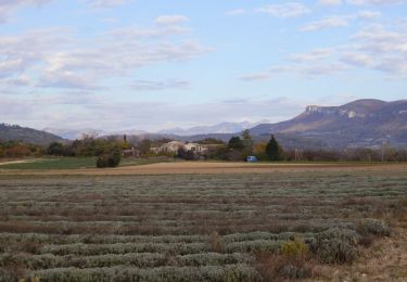
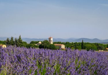
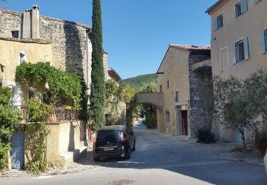
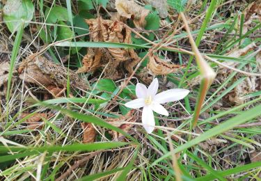
Du site médiéval de Rochefort, découvrez les versants de la vallée de la Citelles et grimpez sur le replat du Janeston. Le préfixe "jan" (bois de genêts, lande à genévriers) est caractéristique d'une végétation méditerranéenne.


Marche

Marche
Marche

V.T.T.
Marche
Marche
Marche


sport
Marche