


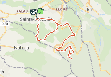

11.8 km | 18.2 km-effort


User


FREE GPS app for hiking
 SityTrail
IGN / Geographical institutes
SityTrail World
The world is yours!
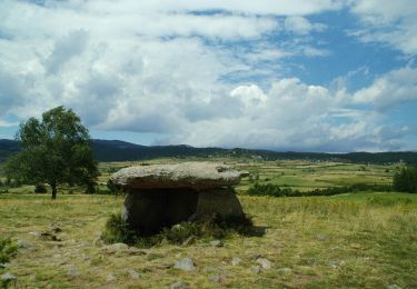
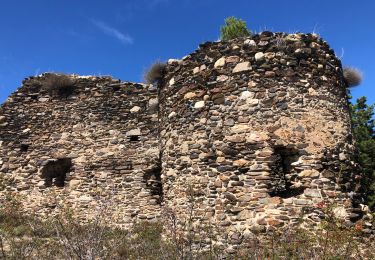
Trail Walking of 11.9 km to be discovered at Occitania, Pyrénées-Orientales, Sainte-Léocadie. This trail is proposed by rene091957.
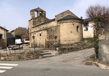
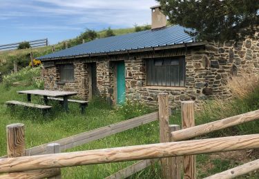
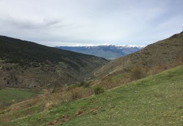
Départ au Parking de la mairie, direction Err, intersection GRP-GR36, Cases d'Amunt, Station de pompage Font Rabiola, aire de pique-nique, table d'orientation, Refuge Pastoral. Retour par le même chemin jusqu'à l'intersection GRP-GR36. Direction Nahuja, chemin à gauche après une intersection, descente vers le point de départ.

Walking
Walking
Walking
Walking

Walking
Walking

Walking

Snowshoes
Walking