


13 km | 32 km-effort

User


FREE GPS app for hiking
 SityTrail
IGN / Geographical institutes
SityTrail World
The world is yours!
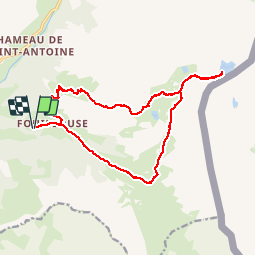
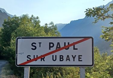
Trail Walking of 19.4 km to be discovered at Provence-Alpes-Côte d'Azur, Alpes-de-Haute-Provence, Saint-Paul-sur-Ubaye. This trail is proposed by yoyolyon.
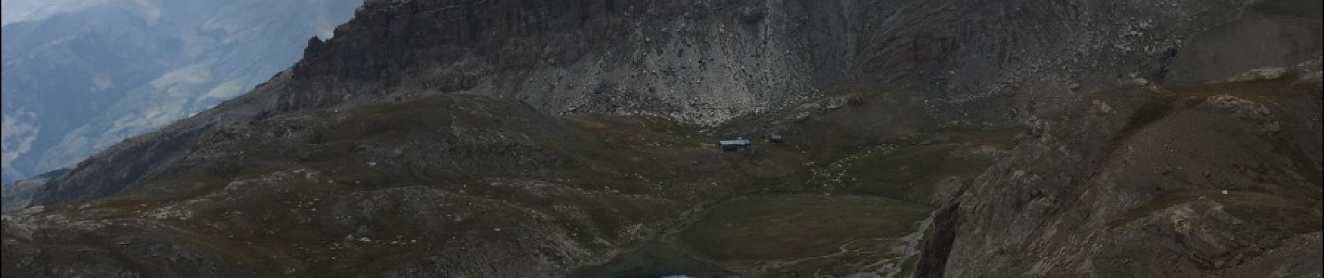
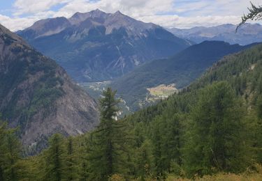
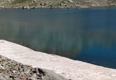
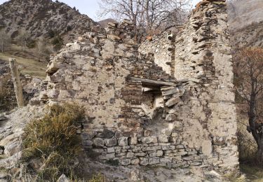
Du parking de Fouillouse traverser le village puis montée en direction du refuge du Chambeyron et ensuite montée an lac des neuf couleurs. Redescendre en prenant la direction du pas de la Couleta et retour à Fouillouse.


Walking

Other activity
Walking
Walking
Walking
Walking
Walking
Walking
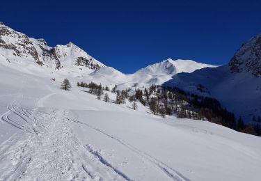
Snowshoes