


9,2 km | 12,3 km-effort


Usuario


Aplicación GPS de excursión GRATIS
 SityTrail
IGN / Institutos geográficos
SityTrail World
El mundo es suyo
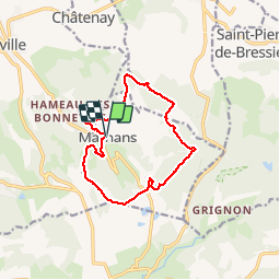
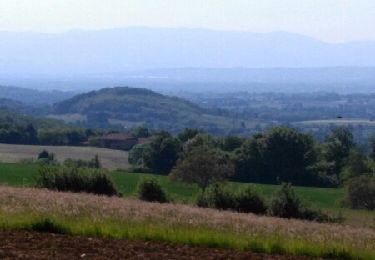
Ruta Senderismo de 12,5 km a descubrir en Auvergne-Rhône-Alpes, Isère, Marnans. Esta ruta ha sido propuesta por emileverschueren.
Superbe balade avec malheureusement 3 km de routes asphaltées mais il y a des compensations.


Senderismo
Senderismo
Paseo ecuestre
Senderismo

Senderismo
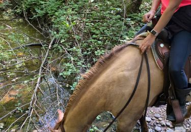
Paseo ecuestre
Senderismo

Paseo ecuestre
Paseo ecuestre