


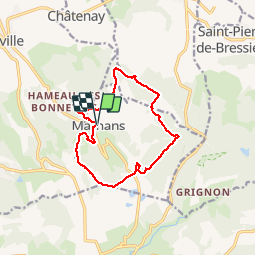

9,2 km | 12,3 km-effort

Utilisateur


Application GPS de randonnée GRATUITE
 SityTrail
IGN / Instituts géographiques
SityTrail World
Le monde est à vous
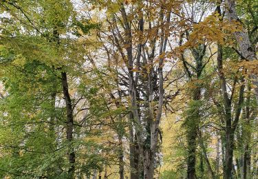
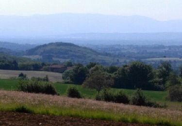
Randonnée Marche de 12,5 km à découvrir à Auvergne-Rhône-Alpes, Isère, Marnans. Cette randonnée est proposée par emileverschueren.
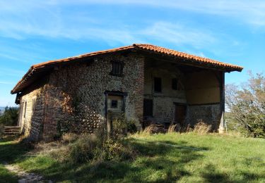
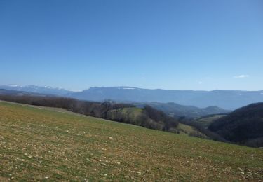
Superbe balade avec malheureusement 3 km de routes asphaltées mais il y a des compensations.


Marche
Marche
Randonnée équestre
Marche

Marche
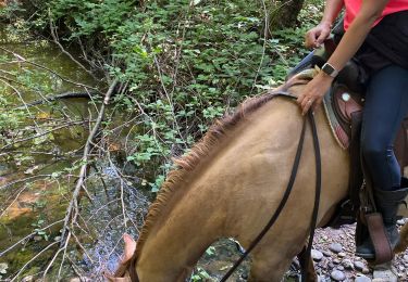
Randonnée équestre
Marche

Randonnée équestre
Randonnée équestre